Groundwater – Surface Water Exchange

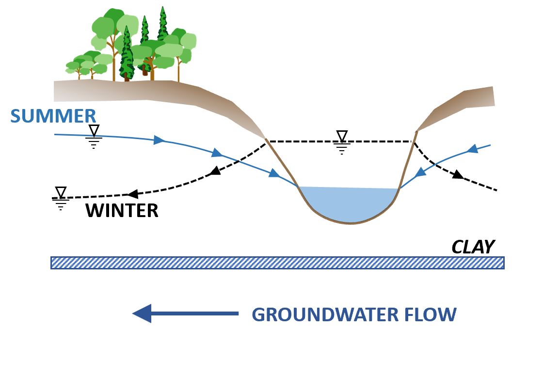
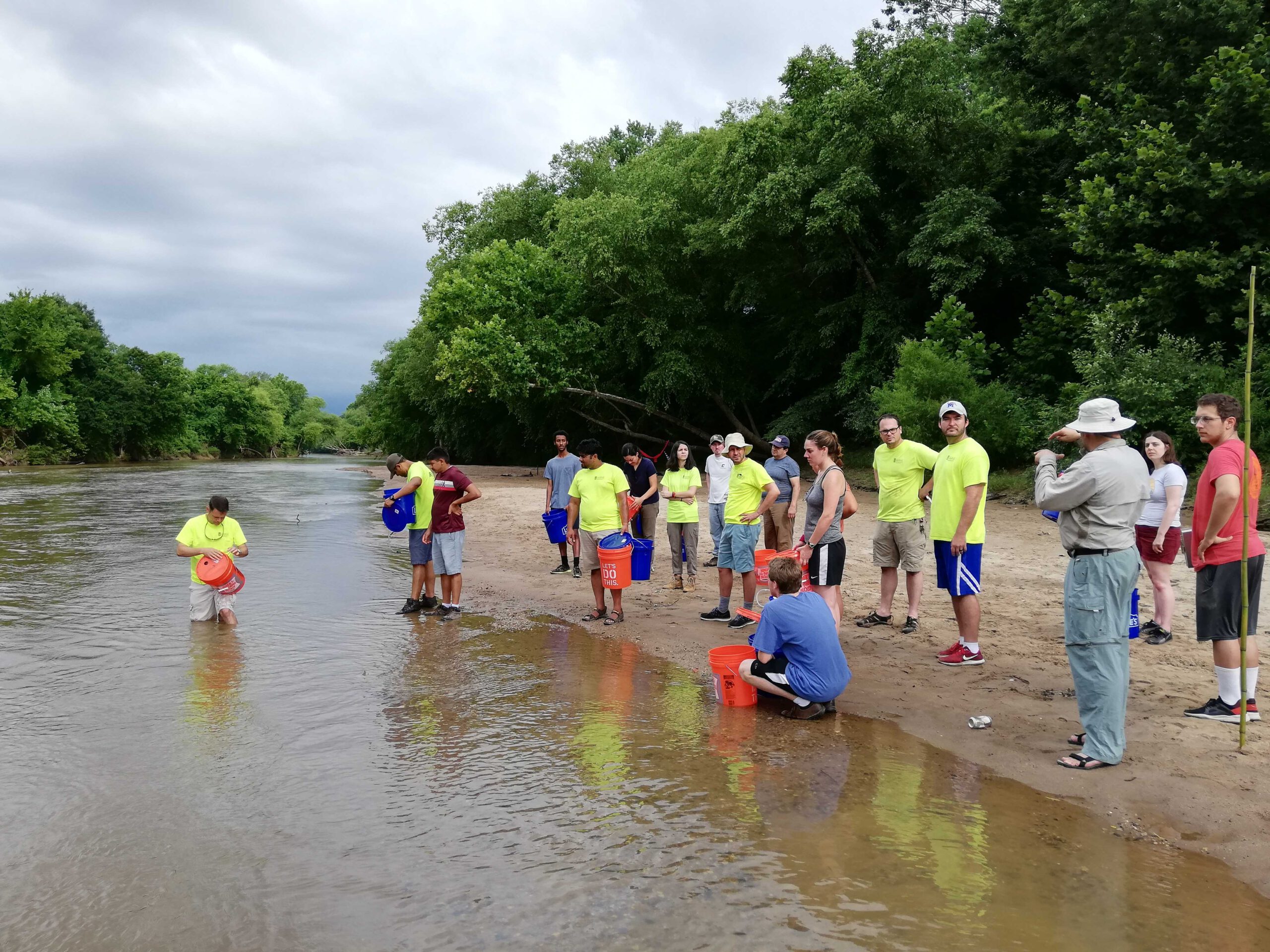
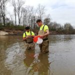
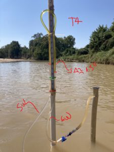
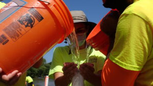
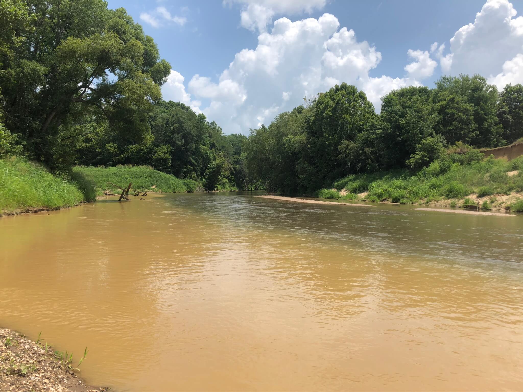
In the natural environment…

surface water (e.g., rivers, lakes, and wetlands) and groundwater exchange water back and forth. This interaction is important because surface water ecosystems rely on groundwater during the hot, dry summer months to provide water. Conversely, during the wet winters and springtime, rivers will flow full and can contribute their water to groundwater.

CAESER has been investigating groundwater-surface water interactions on the three main rivers in Shelby County: Loosahatchie River, Wolf River and Nonconnah Creek. These rivers are incised into the shallow alluvial aquifer and hydraulically connected. To determine the amount and direction of this interaction requires a suite of methods, some traditional and others innovative. Results from our studies help to demonstrate the importance of our rivers and streams as an integral part of our groundwater system, aid in determining the sustainability of river habitat ecosystems, and improve the accuracy of our computer models used in water resource planning.

Groundwater-surface water exchange methods used in a river setting:

Seepage Meters – This is a closed device, like a bucket, inserted into the streambed material where the water exchanged within its walls is connected to a prefilled, pre-weighed bag of water, such that re-weighing of the bag after a certain period (e.g., minutes or hours) reveals the direction and quantity of exchange: (a) less weight indicates loss of river water to groundwater and (b) more weight indicates gaining of river water from groundwater.


Piezomanometers – measures water level differences between the river and groundwater by inserting a small pipe with a screen at the bottom and tubing connected to it, into the streambed, with the other end of the tubing open to the river. Pressure differences are observed in the dual-liquid filled tube (e.g., water and oil) where this liquid combination helps us see small differences (<10 millimeters) and lets us know which system is “pushing” more, the river, or the groundwater.

Slug test – a pipe (i.e., 2-inch-diameter PVC) attached to a finely slotted well screen is hammered into the streambed sediment where water is poured into the pipe until it’s overflowing. Then the drop in water level in the pipe is timed, graphed and inserted into equations to obtain a measure of the streambed hydraulic conductivity.

Coring – a pipe (e.g., PVC or metal pipe) is hammered into the streambed with the intent that streambed material is pushed up into the pipe for later analysis of color, characterization, and grain size composition.

Scour device – multiple foam-filled plastic golf balls are strung onto a cable and buried into the streambed. When the river floods and scours the streambed, the loosened balls will ride up the cable to a buoy and their count plus ball diameter will be translated to a depth to help define streambed thickness.

Electromagnetic induction (EMI) – a geophysical tool either floated or held at a constant distance above the river surface that emits energy into the subsurface to measure resistivity to determine the spatial distribution of soils and their possible properties.

Temperature probes – highly-accurate temperature buttons are placed within a rod that is hammered into the streambed, and temperatures are recorded. Differences in temperature indicate flow exchange direction.

Discharge – highly-accurate devices such as an acoustic Doppler or flow meters measure river discharge at river cross sections where multiple downstream estimates will indicate loss of river water (decreasing discharge) or gain of water (increasing discharge) when compared to the upstream section.

Did You Know?

CAESER is in the middle of two large experiments on our three major rivers, so results are forthcoming.