A watershed represents the contributing area that “sheds” or drains water from the land surface often via rivers and streams to a single outlet. The watershed boundary follows topographic highs like ridge lines. The idea is that a drop of water that falls within the boundary moves to its lowest point (thanks, gravity!), meeting with its other water friends along the way. Now, for the water drop that falls on the boundary, it will move into the mentioned watershed or it will fall into the adjacent watershed and follow a similar flow process.
Ultimately, a little rivulet forms connecting to other rivulets to then become a stream. Streams combine to form a river.
(Did you know that connecting streams are often called tributaries?)
Rivers can combine to make a larger river. The large river then discharges into a large body of water (termed outlet or pour point), like a lake, sea or directly into an ocean. This network of streams and rivers and the land that contributes water to them is the watershed.
Interestingly, you don’t have to be a large river such as the Nile, Amazon or Mississippi River to have a watershed. The rivers and streams that make up each of these river systems have their own smaller watersheds.
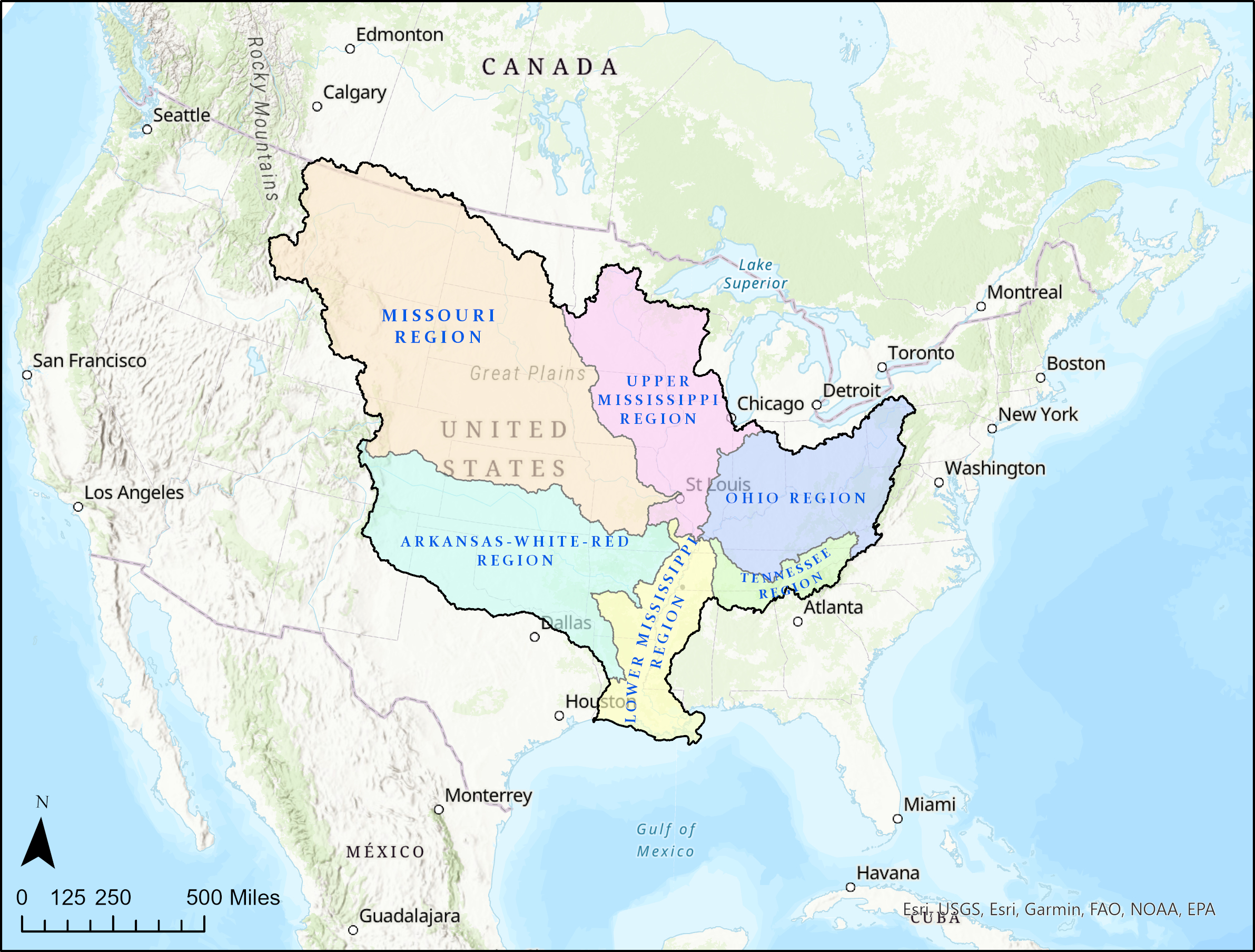
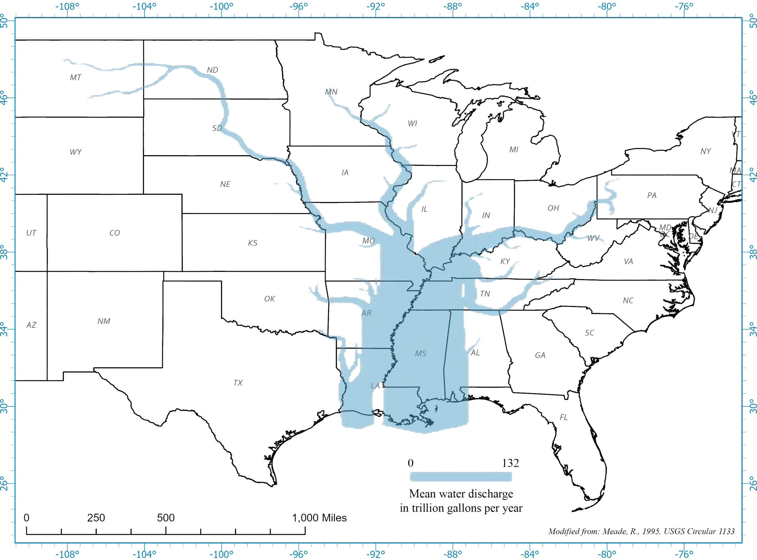
The Mississippi River is the largest river system in North America, with its watershed covering an area of approximately 1,150,584 mi2. Though it’s the 4th longest river in the world (3,902 miles), its watershed ranks 5th.
After the devastating flood of 1927, the U.S. Army Corps of Engineers was tasked with taming the Mississippi River. Past the confluence of the Mississippi and Ohio Rivers, a series of levees and flood relief stations keep flood waters of this mighty river within man-made confines. Much of the land adjacent to the river has been converted to productive farmland, and the river is used to transport these commodities
and the buzz of life along its muddy waters, Mark Twain once exclaimed, “It is good for steamboating, and good to drink; but it is worthless for all other purposes, except baptizing.” Life on the Mississippi
From the same book, words of truth were written when Twain wrote,
“And they talked about how Ohio water didn’t like to mix with Mississippi water. Ed said if you take the Mississippi on a rise when the Ohio is low, you’ll find a wide band of clear water all the way down the east side of the Mississippi for a hundred mile or more, and the minute you get out a quarter of a mile from shore and pass the line, it is all thick and yaller the rest of the way across.”
At the confluence of the upper Mississippi River and the Ohio River at Cairo, IL, 75% of the flow in the lower Mississippi River is due to what’s coming out of the Ohio, yet most of the sediment originates from the upper Mississippi River. Full mixing of the two rivers doesn’t occur until near Caruthersville, MO, around 115 miles downstream!
Since 75% of the Mississippi River flow past Cairo, IL comes out of the Ohio River watershed, it is flooding on the Ohio that concerns cities and towns downstream from here. The historic flood of 2011 was due to heavy snow melt and rain in the Ohio watershed and was second in magnitude to the devastating flood of 1927.

The Wolf River originates just inside the State of Mississippi before entering Tennessee, then flows westward, terminating in the Mississippi River. An interesting river in many respects, most notable is its history with life and death in the City of Memphis, its transition from natural to channelized and the beauty of its headwaters.
The Wolf River served as the City of Memphis’ source of drinking water during the mid- to late-1800s, providing water for its citizens, small industry and many breweries. But it was also home to the mosquito that devastated the City with multiple yellow fever epidemics, including one in the 1870s that caused more than half the citizens to flee and the City to lose its charter. Memphis survived because of its discovery of the Memphis aquifer.
More than half the watershed is rural where the river remains naturally sinuous and mostly maintains a riparian buffer, although spotty in places. The rural section makes up its eastern portion before entering Shelby County where the remainder of the watershed is strictly urban and channelized. In the urban section, the river has widened and deepened to where it remains disconnected from its floodplain which prevents overbank flooding; subsequently, promoting the rapid invasion of non-native species like Privet.
However, efforts by many supporters (Wolf River Conservancy, Hyde Family Foundation, City of Memphis, City of Germantown, Shelby Farms Conservancy, and others) have reconnected people to the river with the Wolf River Greenway.

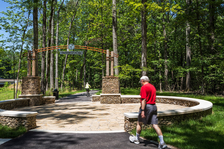
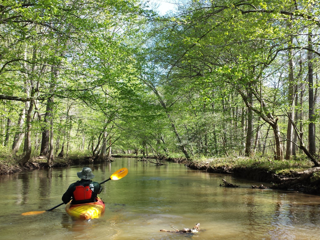
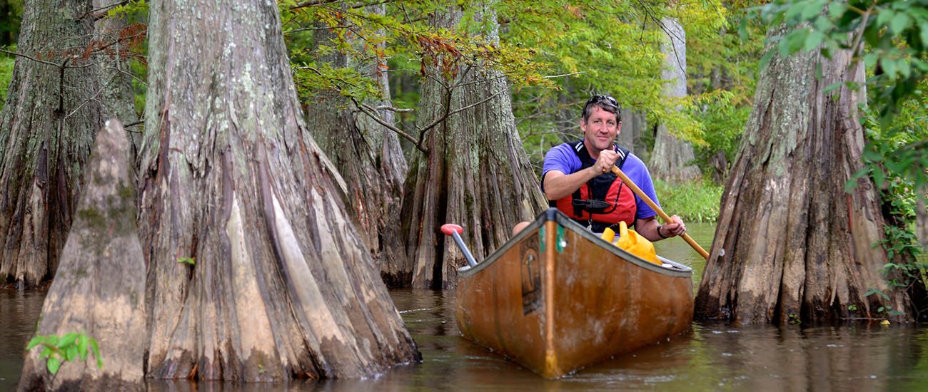
Near its headwaters, the Wolf River and its floodplain are exceptionally beautiful with clear water allowing you to see stream plants, fish, and other species. Called the Ghost River section, it is often visited by many canoeists, kayakers, and hikers. This section is a perfect reflection of the Wolf River watershed at the time the Chickasaw Indians populated and hunted this area.
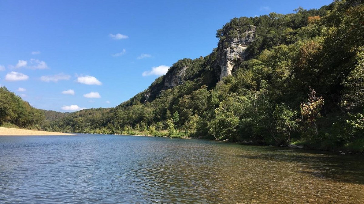
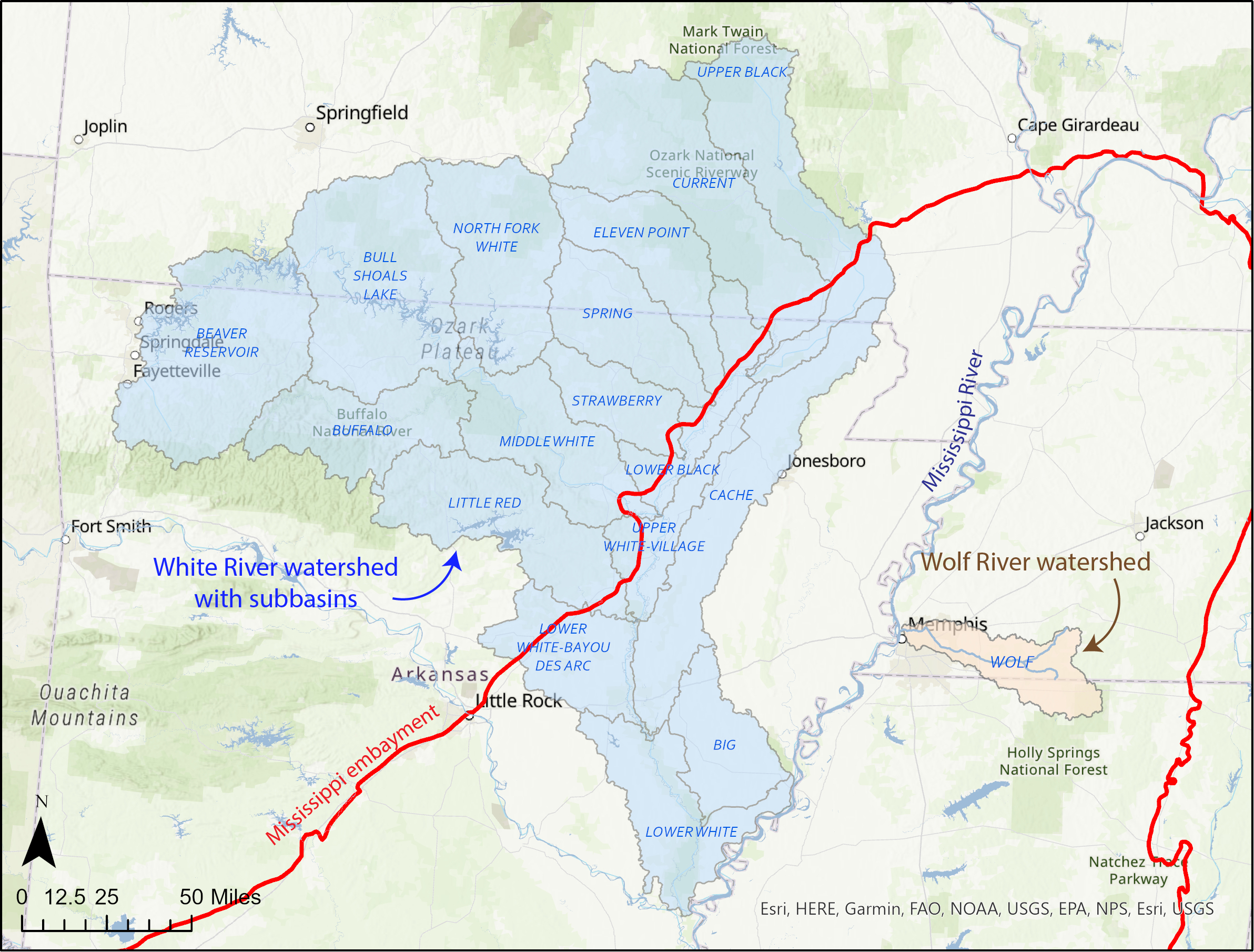
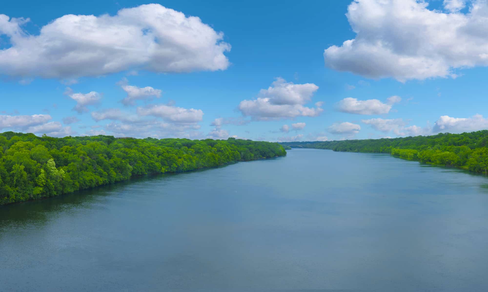
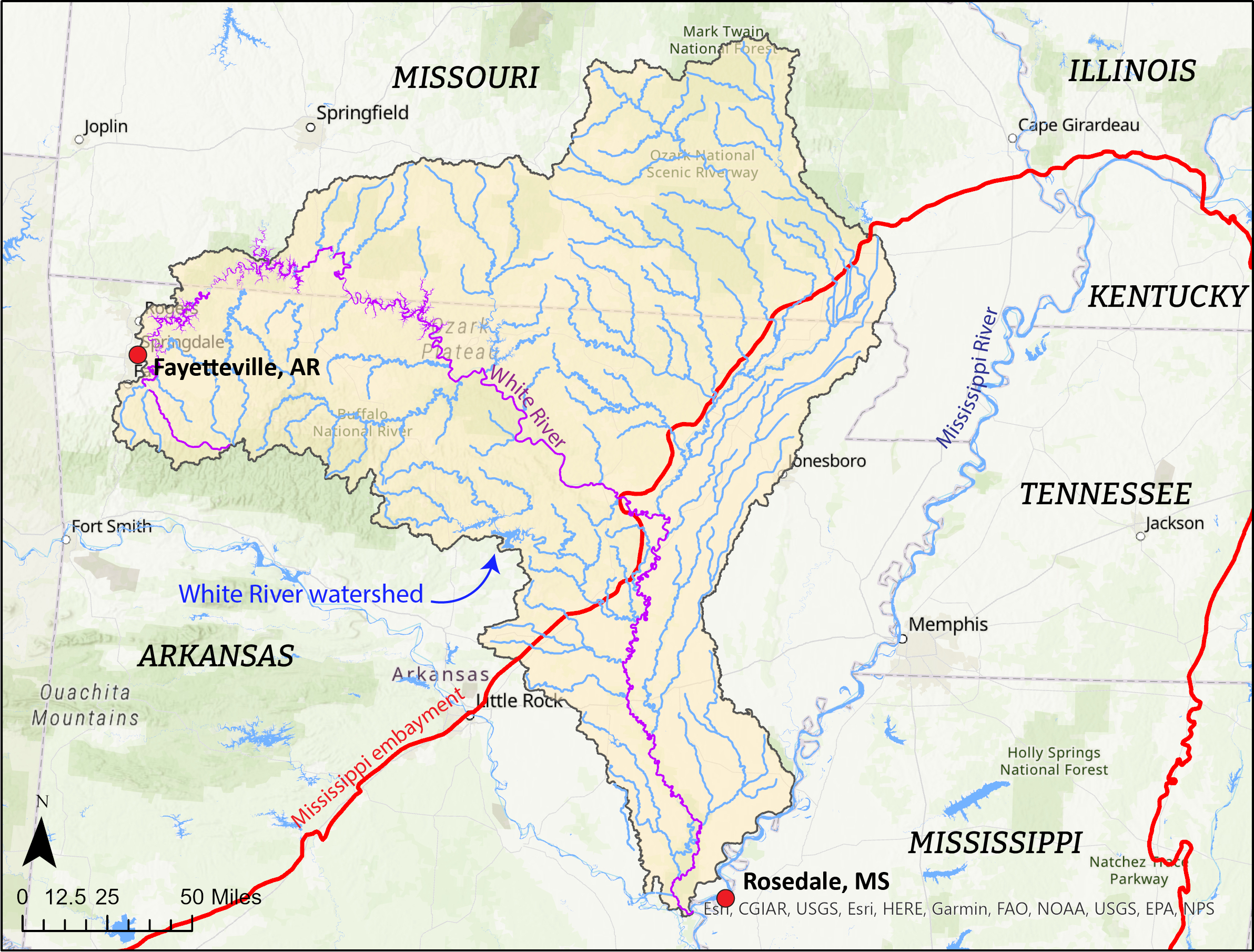
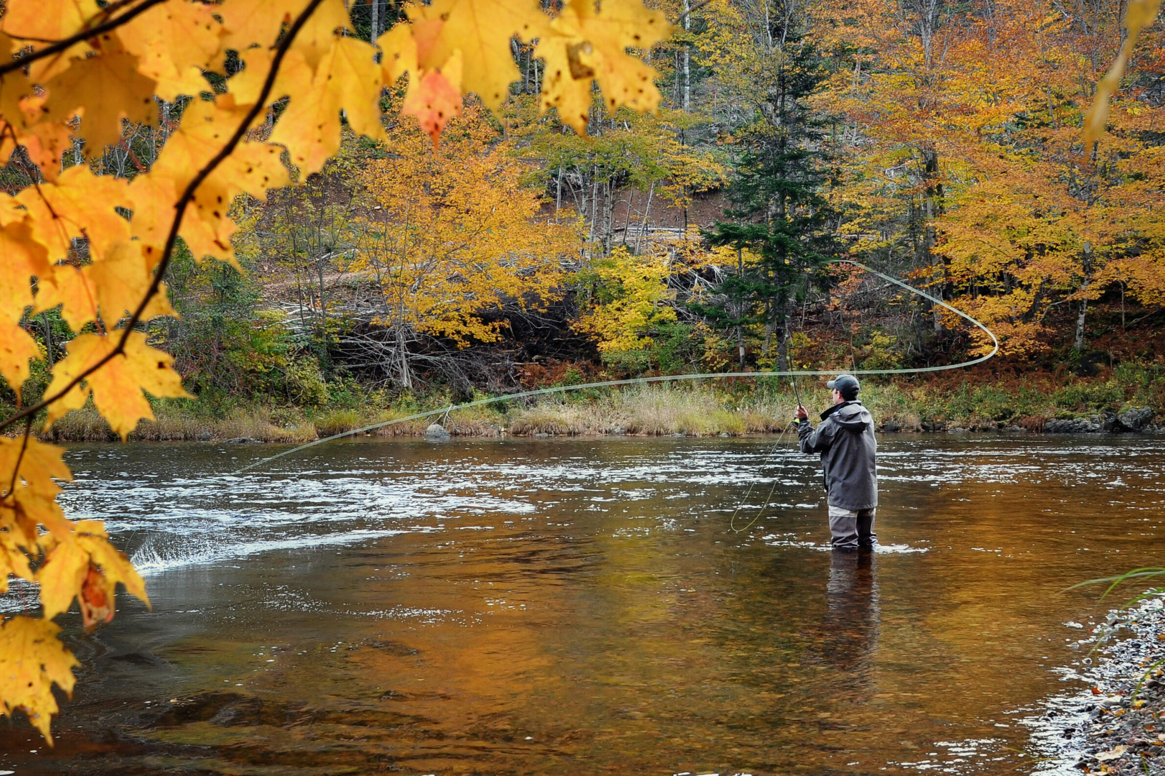
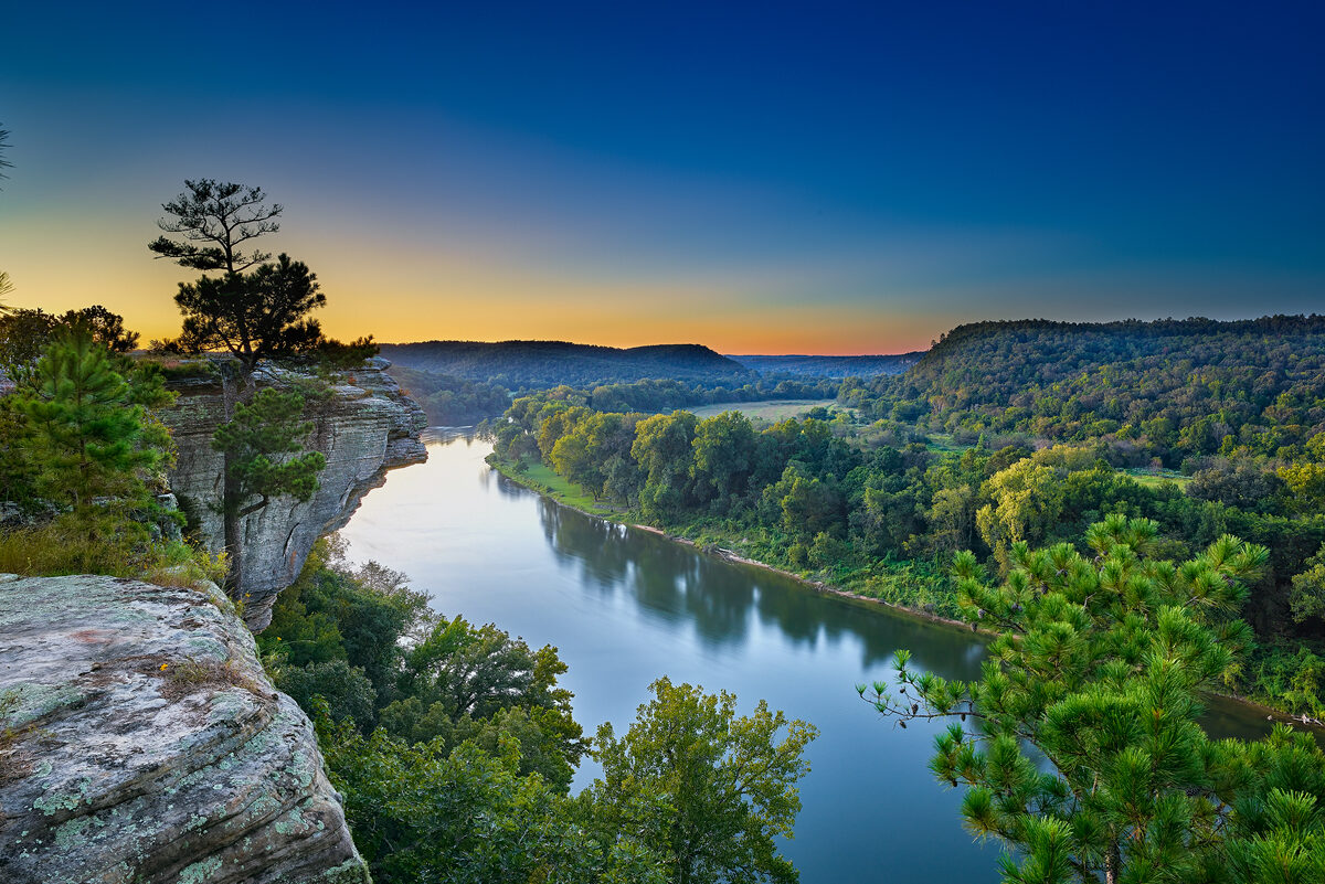
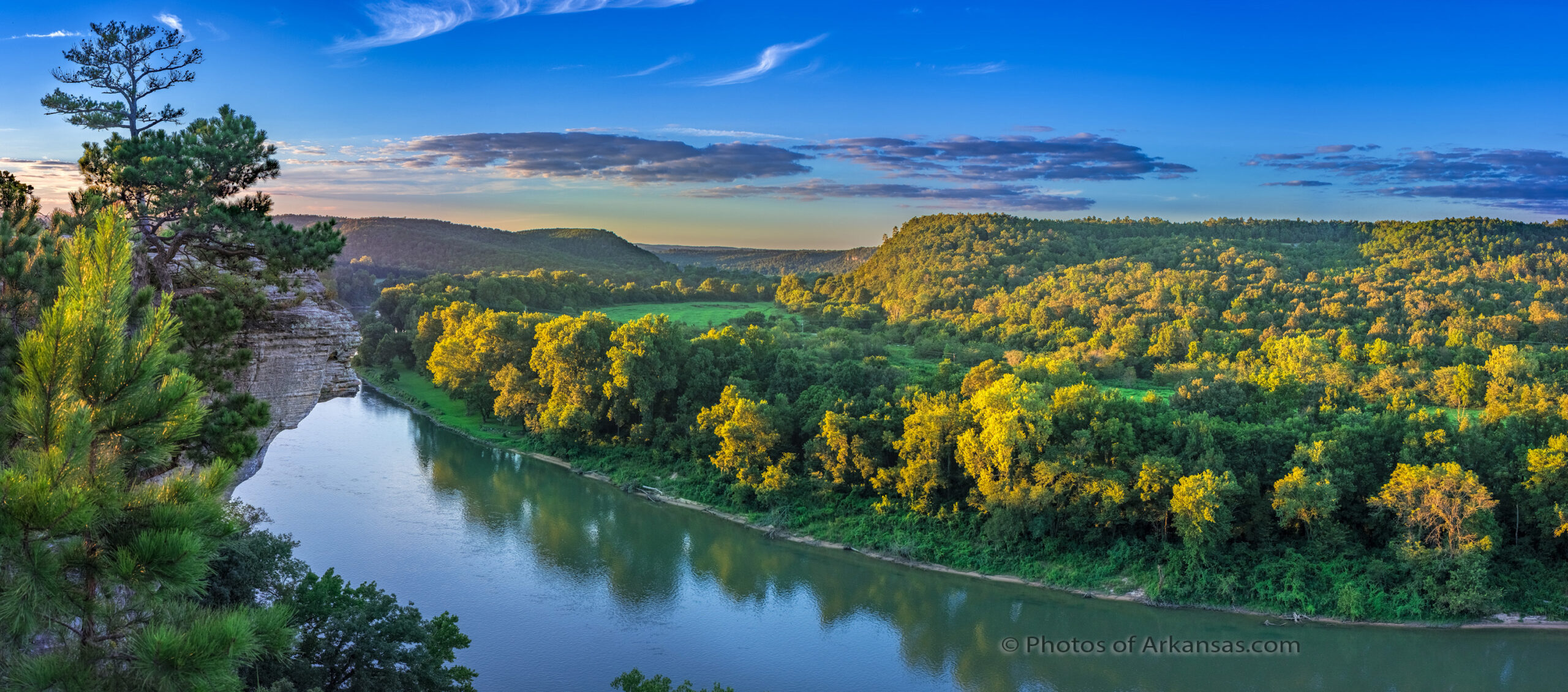
The White River has its headwaters in northern Arkansas (starting in Fayetteville) and continues northward into Missouri before turning south to enter Arkansas again for its long journey to the Mississippi River just north of Rosedale, MS. Its watershed is interesting because at its beginning the river flows through the Ozark Mountains with its many twists and turns providing some whitewater conditions. It is also dammed in many places in Arkansas and Missouri to form recreational reservoirs. The water is clear and cold, offering great trout fishing.
https://www.youtube.com/watch?v=E44OdWrmCPE
Taking a step back, if you go further west into Oklahoma you would sit on the Great Plains. Going east you enter the Ozark Mountains before dropping into the Mississippi embayment. When the White River leaves the Ozarks, it begins a long journey southward through the Mississippi Delta, which is made of highly erosive material. Therefore, the clear waters seen in the Ozarks become muddied by the change in sediment through which the river courses.
Eventually the White River gains enough flow and depth/width to become navigable by small barges for transporting mostly grains. As such, the river must maintain a minimum depth to accommodate this type of river traffic.
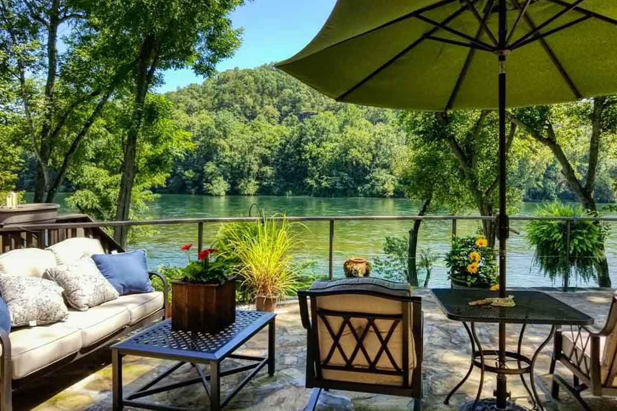
 Afterglow from near Calico Rock on the White River in Arkansas.
 Sunset from Calico Rock on the White River in Arkansas