Protective Clay Breaches

Finding Breaches in the Confining Unit Above the Memphis Aquifer

Memphians are proud of their water, as it is known to be the best in the nation. Pure, fresh, crystal clear – these are words often used to describe our water. As wonderful and plentiful as our water is, Memphians also realize that it is a vulnerable resource and its protection is of critical importance.

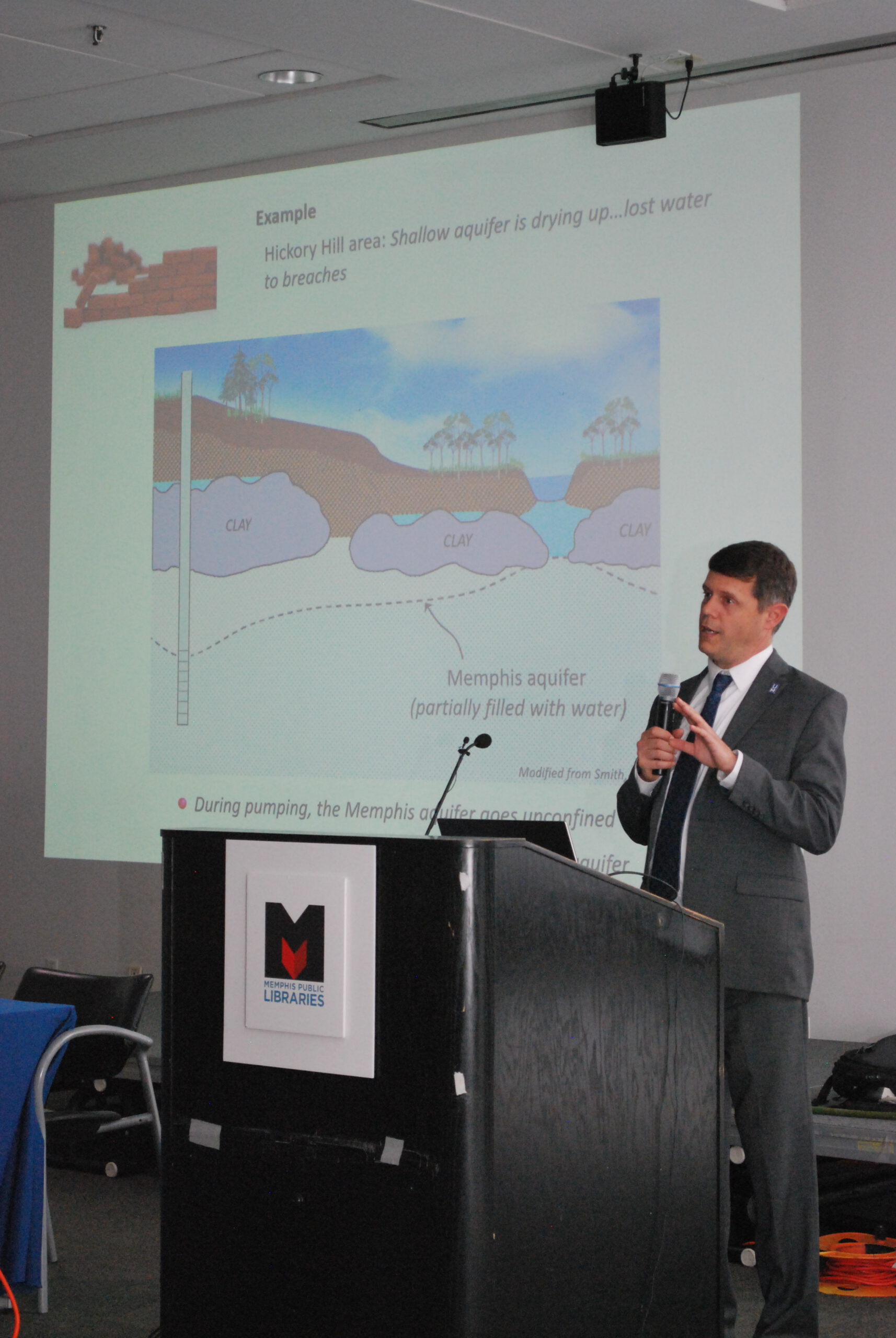
Beneath Memphis, the groundwater that serves as our primary source of drinking water is around 2,000-3,000 years old. However, research by CAESER and other groups has identified avenues by which younger, contaminated water could enter this precious underground water supply. These avenues of contamination are naturally occurring breaches in the protective clay layer overlying the Memphis aquifer, where the clay is very thin or absent.

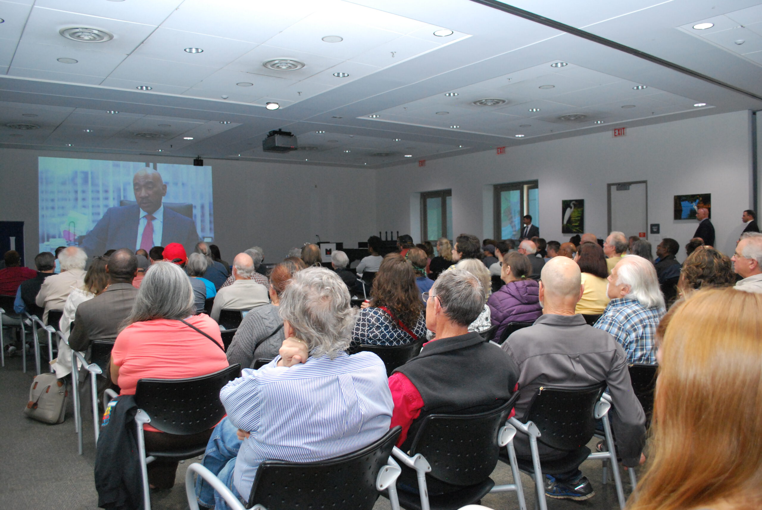
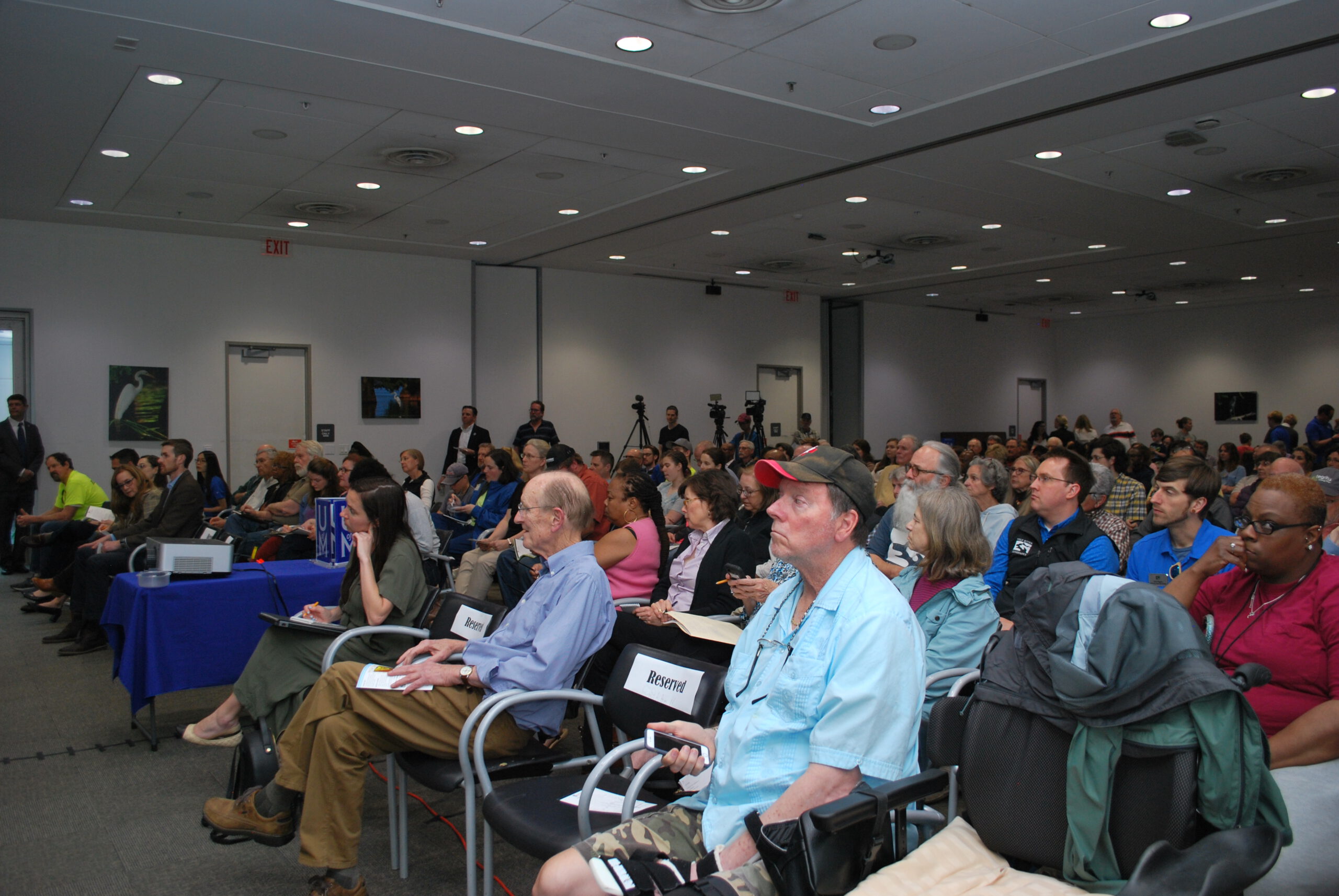
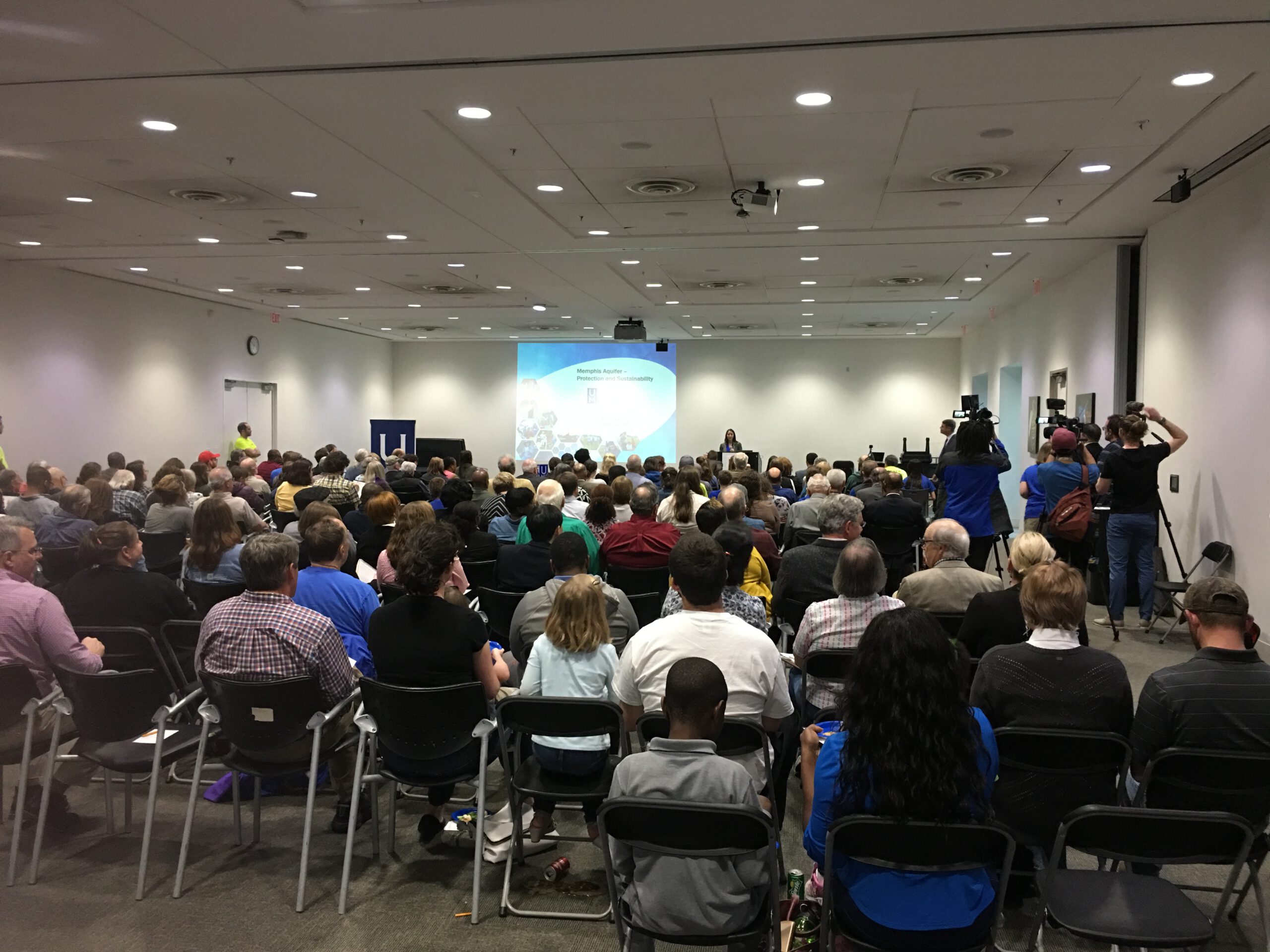
In the spring of 2018, Memphians rallied support to initiate a study into these breaches and the potential for contamination of the Memphis aquifer. An increase of approximately $0.18/month on each customer’s water bill would establish an annual pool of $1M for researching the breaches. CAESER would perform this research, drawing on years of expertise on our groundwater.

September 2023

After five years of study, CAESER released the executive summary of this project.

Key Takeaways From Study:

  • 5-Year MLGW Aquitard Study focused on the presence of breaches in the protective clay layer above the Memphis Aquifer. 22 research projects were done to identify the location and determined the impact of breaches within the study area.
  • Prior to this study, there were six suspected breaches (not drilled), and one known breach (drilled). Now, we have identified 35 suspected breaches and known six breaches.
  • Modern water (less than 65 years old) was detected in the Memphis aquifer water pumped from the Davis, McCord, Shaw, and Sheahan wellfields.
    Additionally, previous studies also indicated modern water in Allen and Lichterman wellfields.  No modern water was found in the Mallory wellfield.
  • Updated groundwater flow model (CAESER-II) includes data from field and lab tests that improve matching of past groundwater levels and make future predictions more accurate.
  • Groundwater flow models ran hundreds of thousands of scenarios to define the best groundwater production procedures that reduced the threat of modern water in the Memphis aquifer at certain MLGW wellfields.

MLGW_Executive_Summary

hero

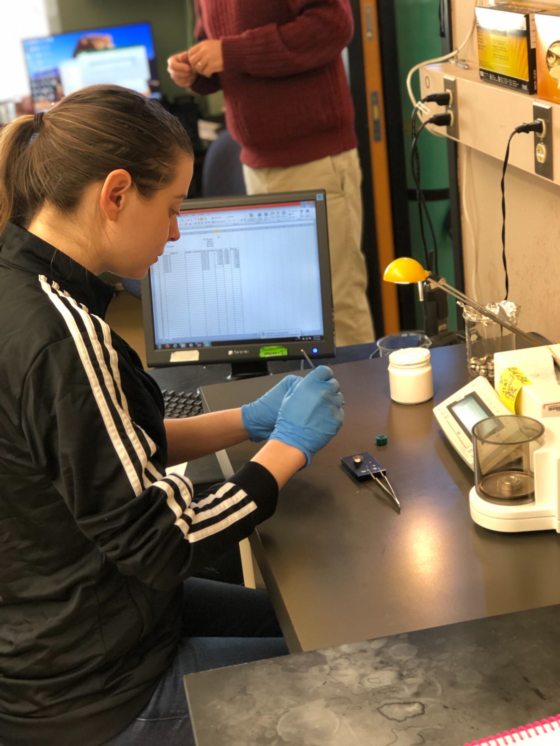
With additional funding provided by the University of Memphis, a total of 21 projects were initiated over a period of five years (August 2018 – June 2023).

These projects seek to:

  • Study breaches in the confining clay
  • Determine if there are more breaches present than currently known
  • Identify contributions to groundwater
  • Better understand water transfer into the Memphis aquifer

Water Quality – 4 Projects

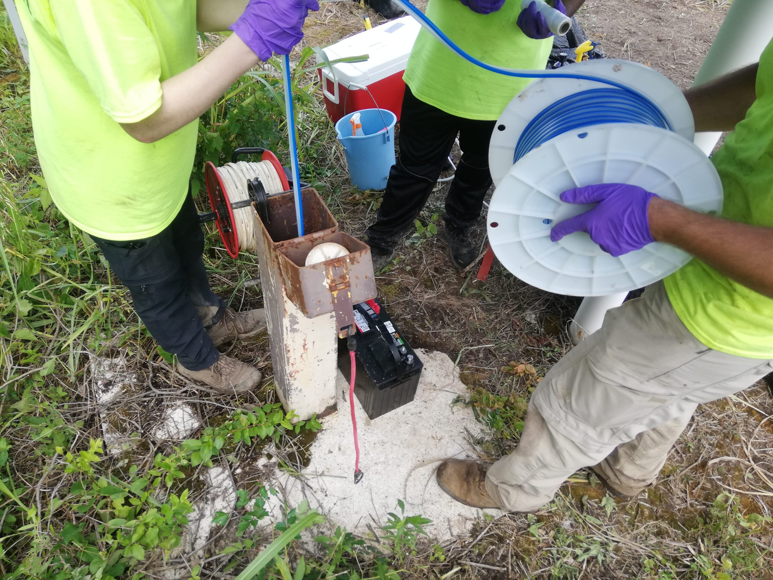
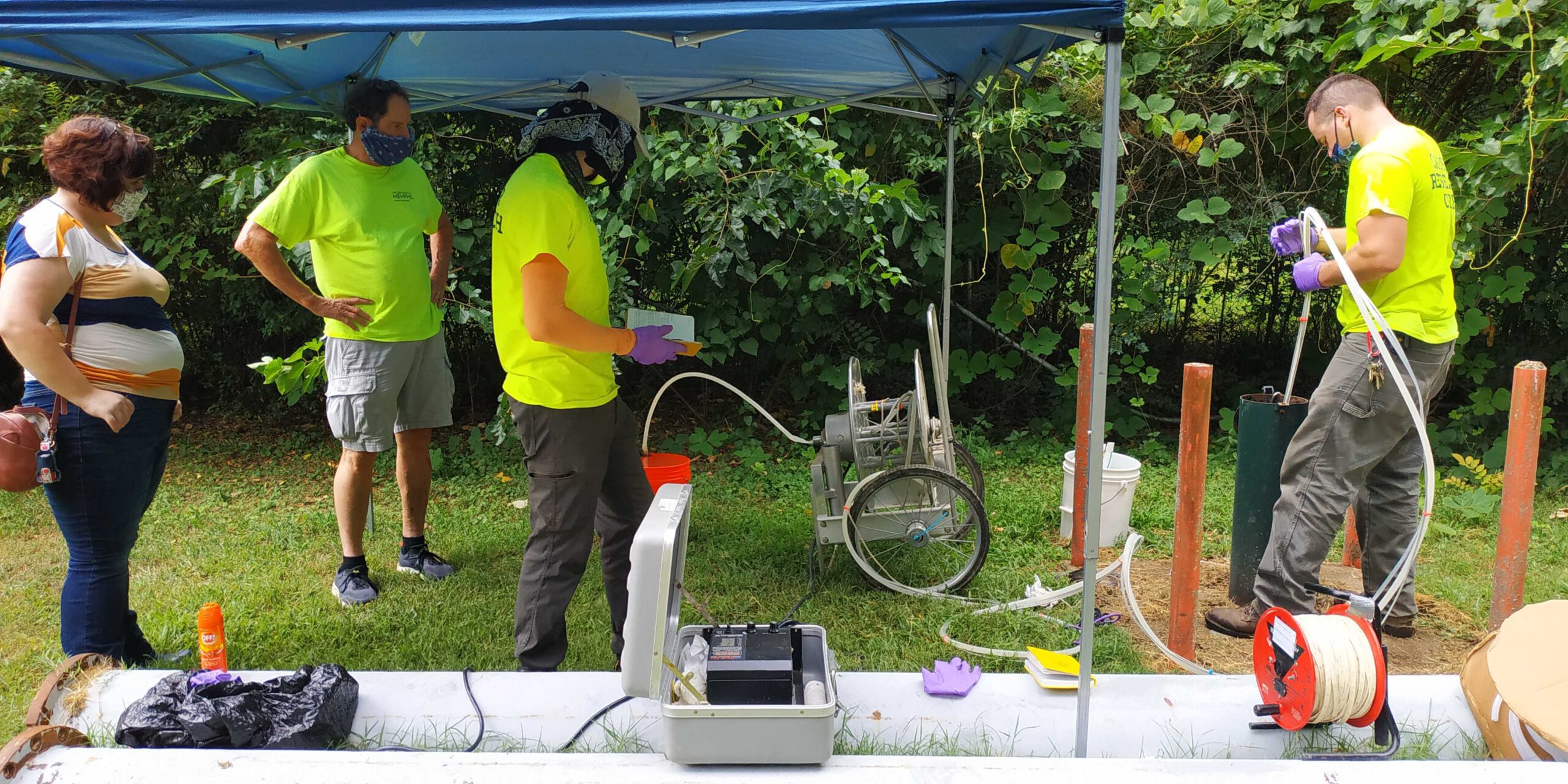
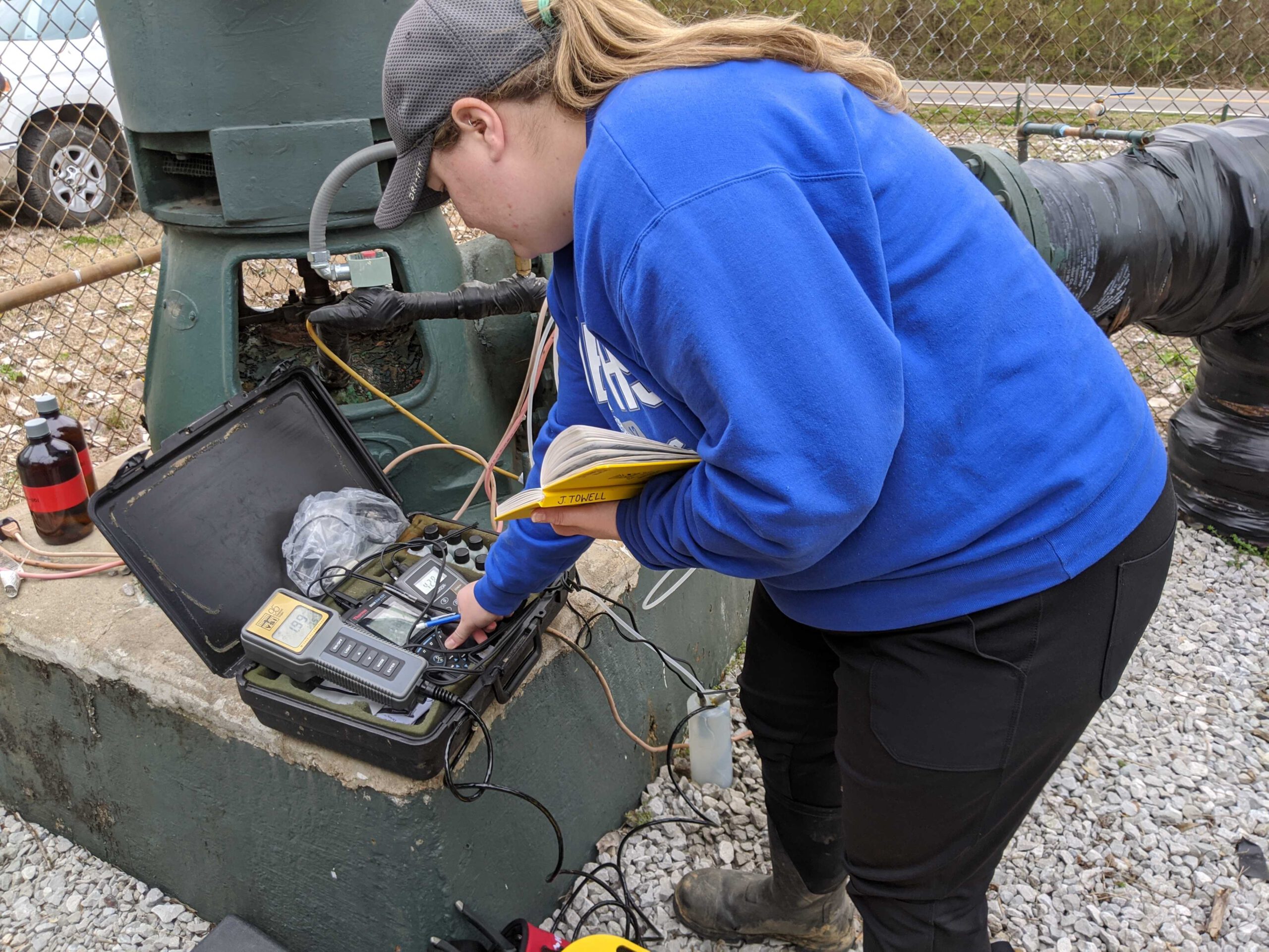
Use water chemistry and other measurable tracers in groundwater and surface water to determine what water external to the Memphis aquifer is getting into our drinking water supply.

Findings:

Young water (<60 years old) is entering the Memphis aquifer through breaches at the MLGW Davis, Shaw, and Sheahan wellfields. Still under investigation are Mallory and McCord wellfields.

Build upon Davis wellfield age-dating results to further refine and quantify source waters to the Memphis aquifer at the Davis wellfield through sampling water chemistry, groundwater age-dating, characterization of the hydrogeologic properties of a known breach impacting Davis, and development of a conceptual model of groundwater flow for later incorporation into a numerical model.

Investigate Shaw well field to determine source waters and potential for modern water migration into the Memphis aquifer, development of unconfined conditions and vulnerability to nearby contaminated sites.

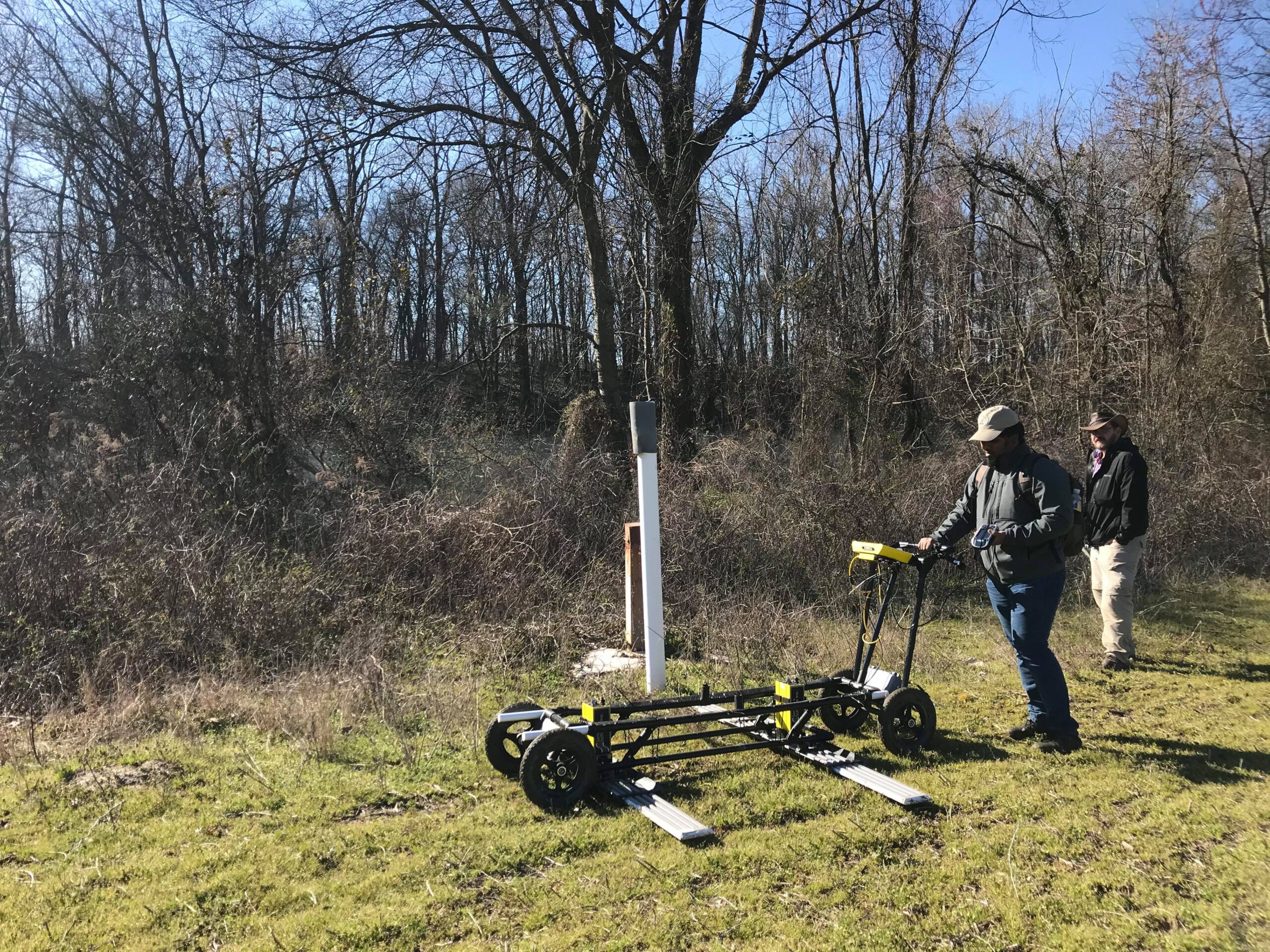
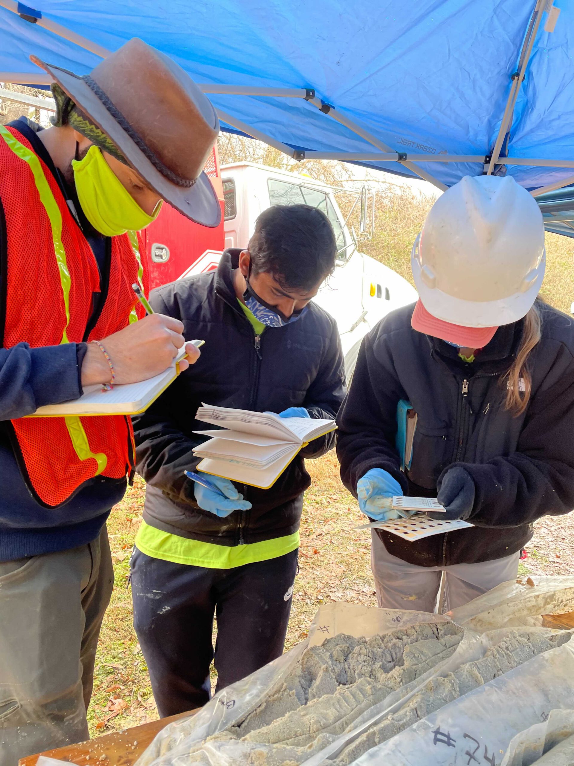
Investigate a suspected aquitard breach near McCord well field by using electric resistivity and possibly other geophysical techniques within available open space. Project to include drilling as well for stratigraphic control.

Investigate Mallory well field to determine source waters and potential for modern water migration into the Memphis aquifer field through sampling water chemistry, groundwater age-dating, mapping of the subsurface stratigraphy, and development of a conceptual model of groundwater flow for later incorporation into a numerical model.

Numerical Modeling – 9 Projects

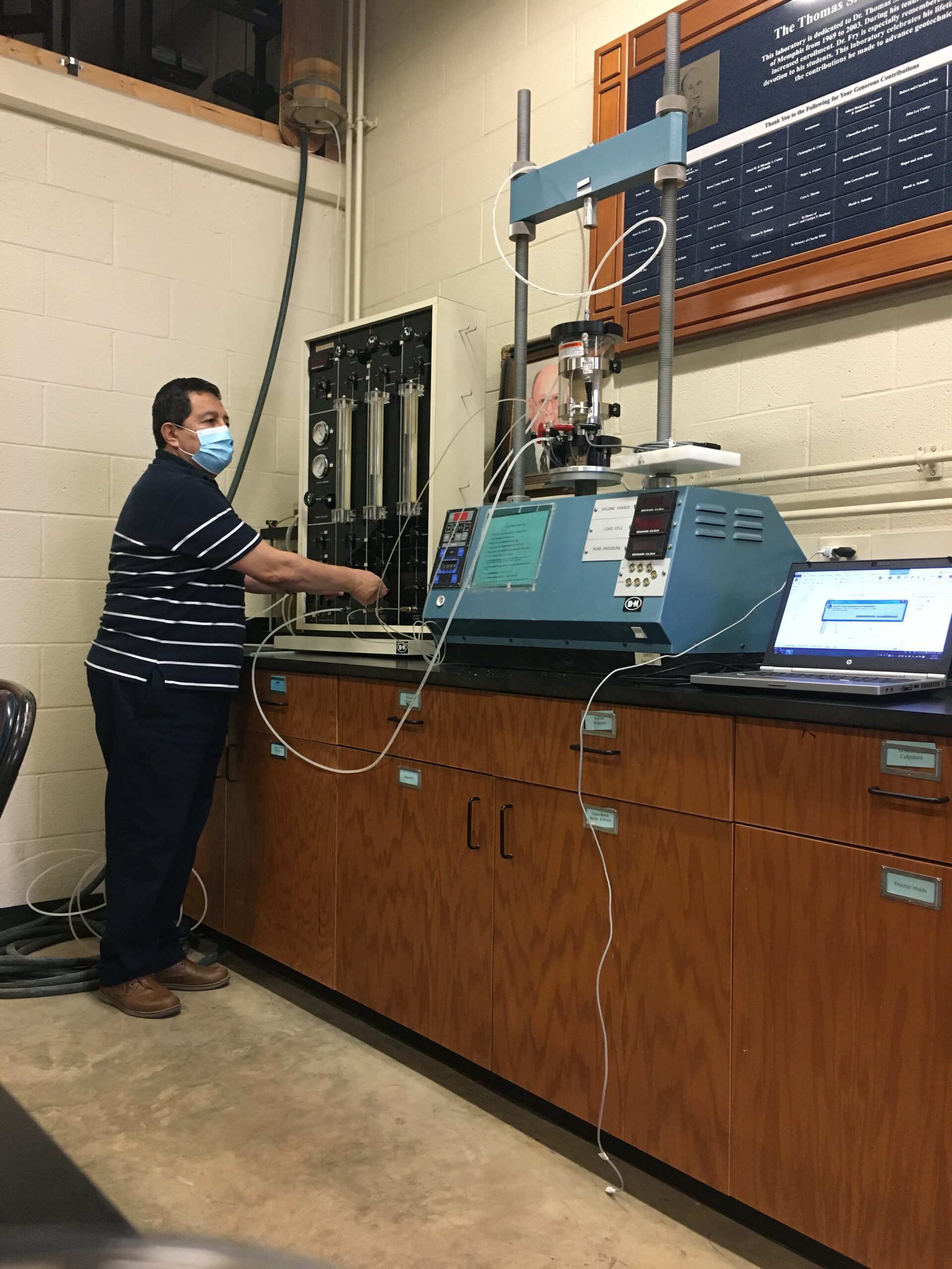
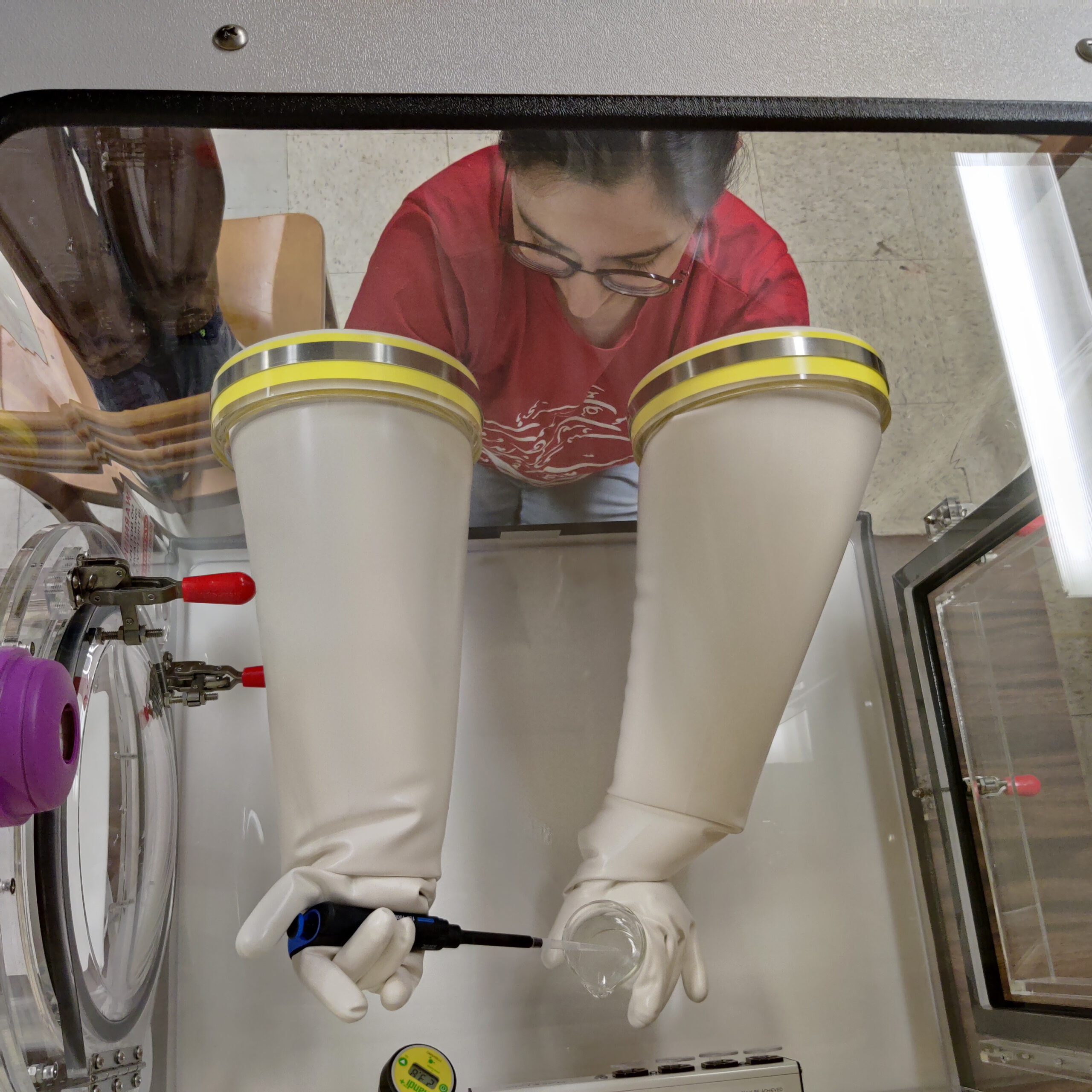
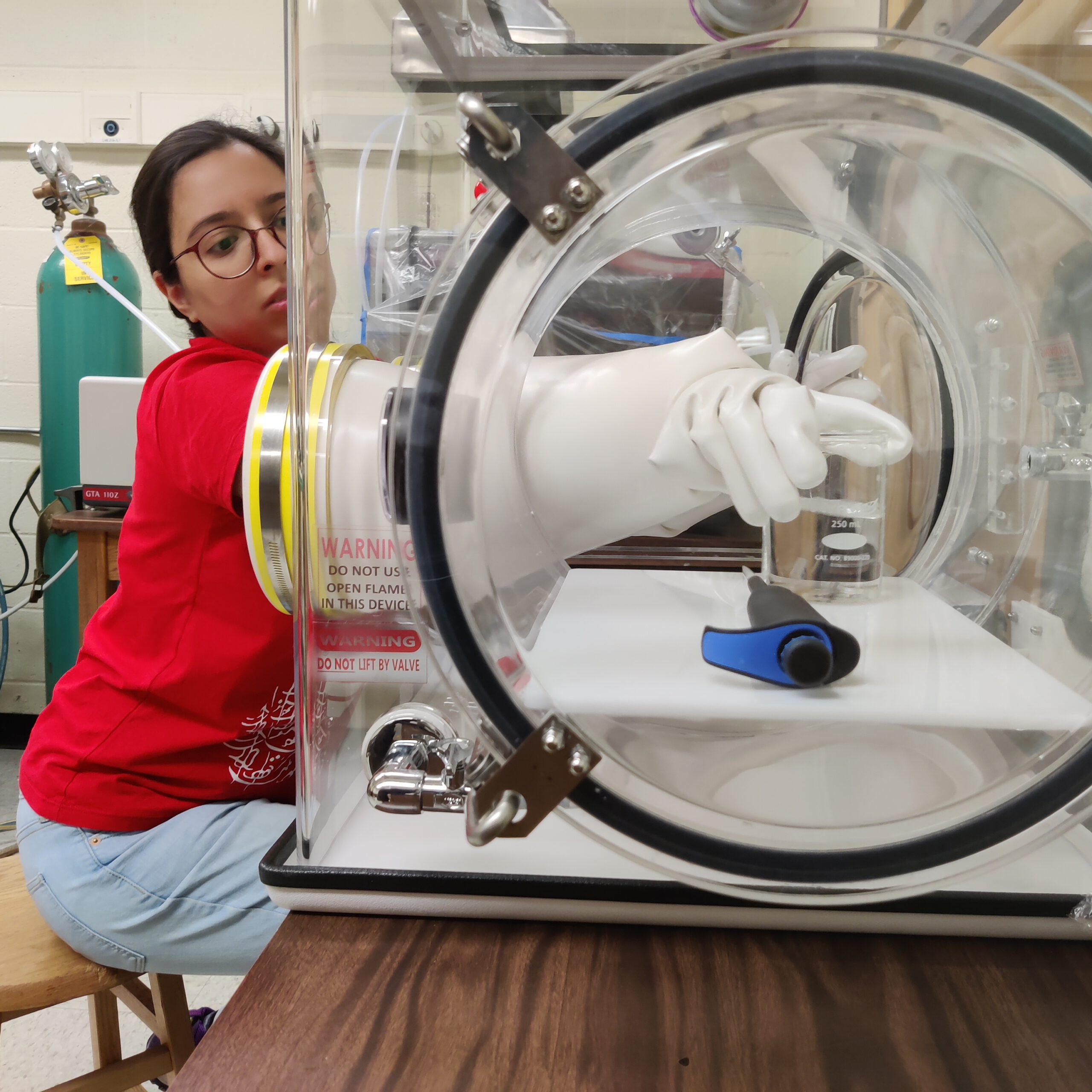
Nine projects use complex computer models of our groundwater system and laboratory experiments are being developed to: investigate contaminant movement, explore ways to find new breaches and limit flow through them, provide guidance to MLGW on wellfield operations, and improve the accuracy of model predictions.

Findings:

The shape given to breaches should follow that of an ancient river channel. Obtained aquifer parameters that are much improved over historical values; therefore, we have much more trust in our modeling results.

Groundwater pumping optimization to minimize contaminant movement from the water table aquifer to Memphis Aquifer using stochastic modeling.

Determine impact of known breaches in the Sheahan wellfield, determine presence of new breaches in the well field, and assess impact of Former Custom Cleaners site.

2 projects have development of hypothetical groundwater models focusing on groundwater sustainability and modeling the fate and transport of various contaminants while conducting bench scale testing of retardation reactions.

Determine numerical modeling best practice for simulating groundwater conditions in the shallow aquifer that better represent groundwater levels and flow direction, vertical leakage through aquitard breaches, and avoiding inherent cell flooding (too much recharge) and drying (thin saturation depths).

Numerical modeling to correlate age-dating and geochemical observations to known/potential breaches that will include possible paleo-drainage atop the upper Claiborne confining unit.

Formulate and test methodologies to reduce or eliminate preferential inter-aquifer water exchange.

Incorporate more complete age-dating of Sheahan production wells into numerical model to resolve the probable location of breach(es) in the southern portion of the well field with attempted validation through geophysical techniques or drilling of an observation well.

Perform aquifer characterization across Shelby County to constrain numerical model parameter estimation.

Surface Processes – 4 Projects

Show the shallow aquifer water is of poorer quality and passes through breaches into the Memphis aquifer, CAESER is investigating inputs of recharge and water exchanged with our rivers to the shallow aquifer.

Findings:

The breach at Shelby Farms has been further substantiated and two new, but suspected, breaches (Lansdowne Park in Germantown and near Austin Peay Highway) are still under investigation.

Conduct multi-scale investigation of surface water-groundwater interactions along the Loosahatchie River and Nonconnah Creek using a variety of methodologies to identify breaches. Incorporate these findings plus those of the Wolf River (Project 1-2) into Shelby County numerical groundwater model.

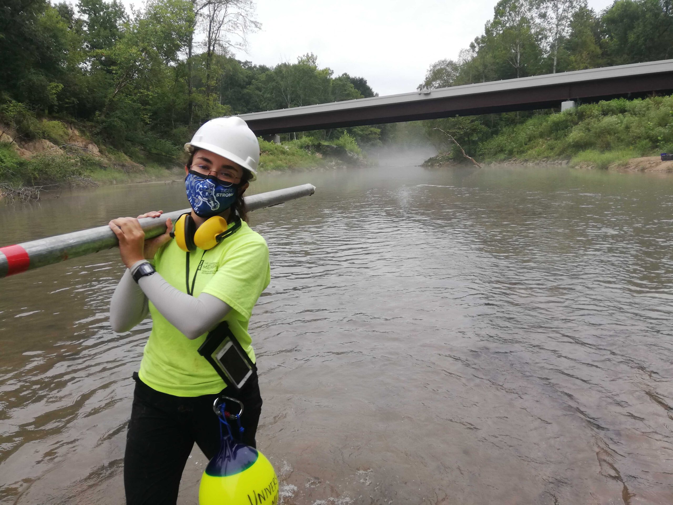
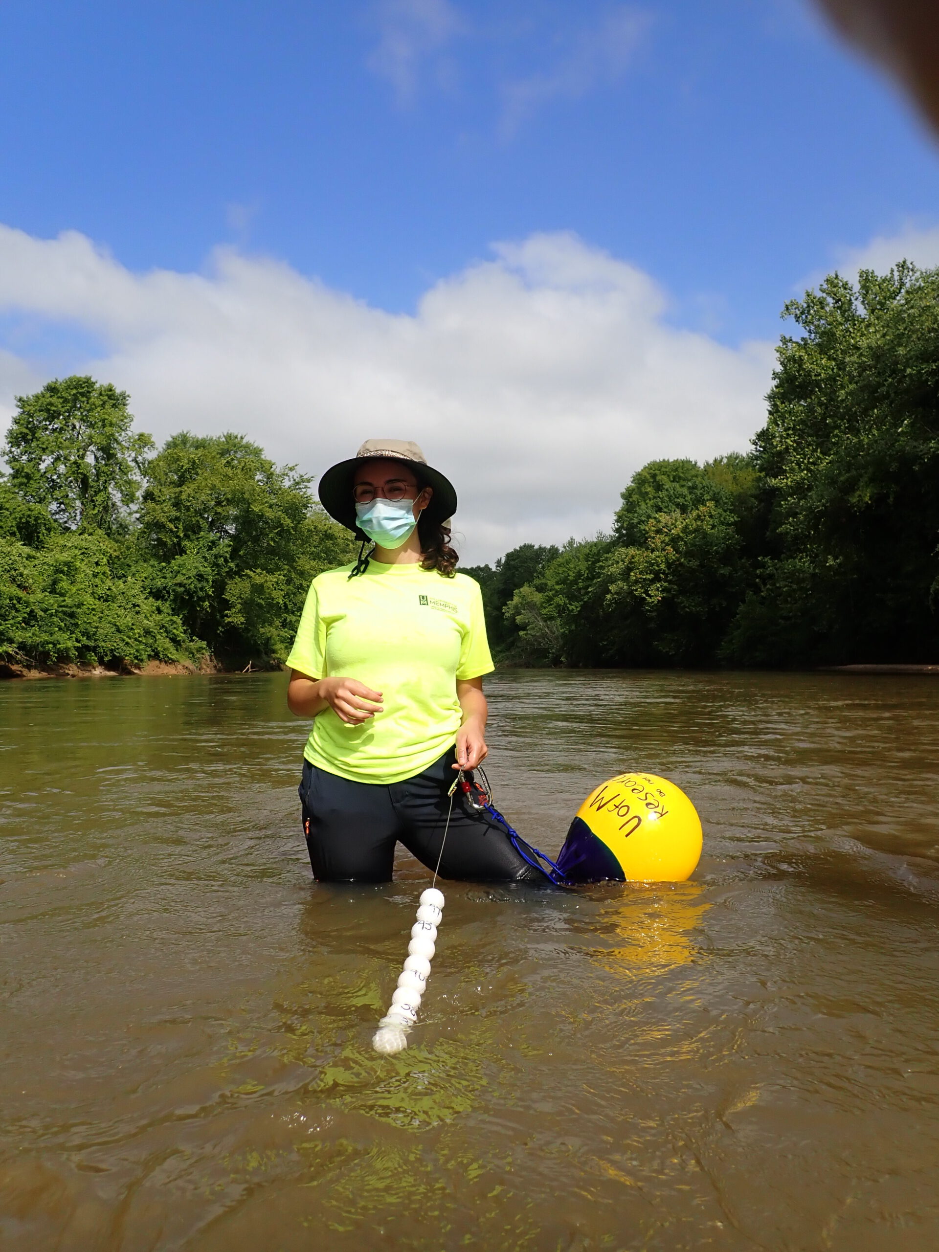
Determine possible new breach locations proximal to the Wolf River by conducting riverbed seepage measurements, performing detailed discharge measurements, and developing well transects to monitor groundwater/surface water exchange.

Determine in-situ riverbed properties (hydraulic conductivity and thickness) for the Loosahatchie River, Wolf River and Nonconnah Creek to further constrain the Shelby County numerical groundwater model and for site-scale hydrogeologic analyses.

Determine recharge mechanisms and rates to the shallow aquifer within Shelby County that contributes to its replenishment and source of additional inflow to the Memphis aquifer through aquitard breaches.

Subsurface Characterization – 4 Projects

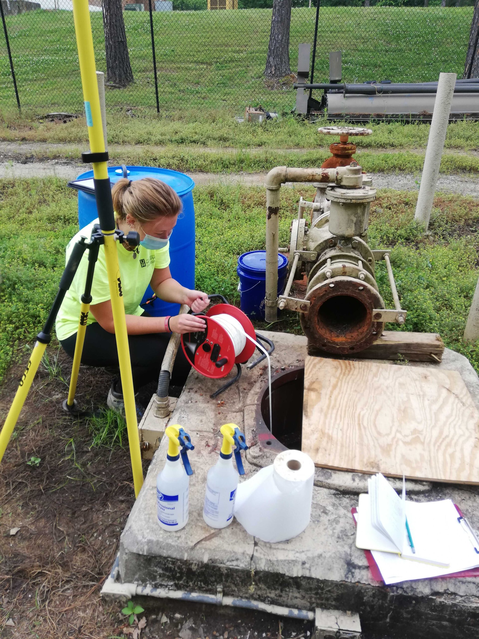
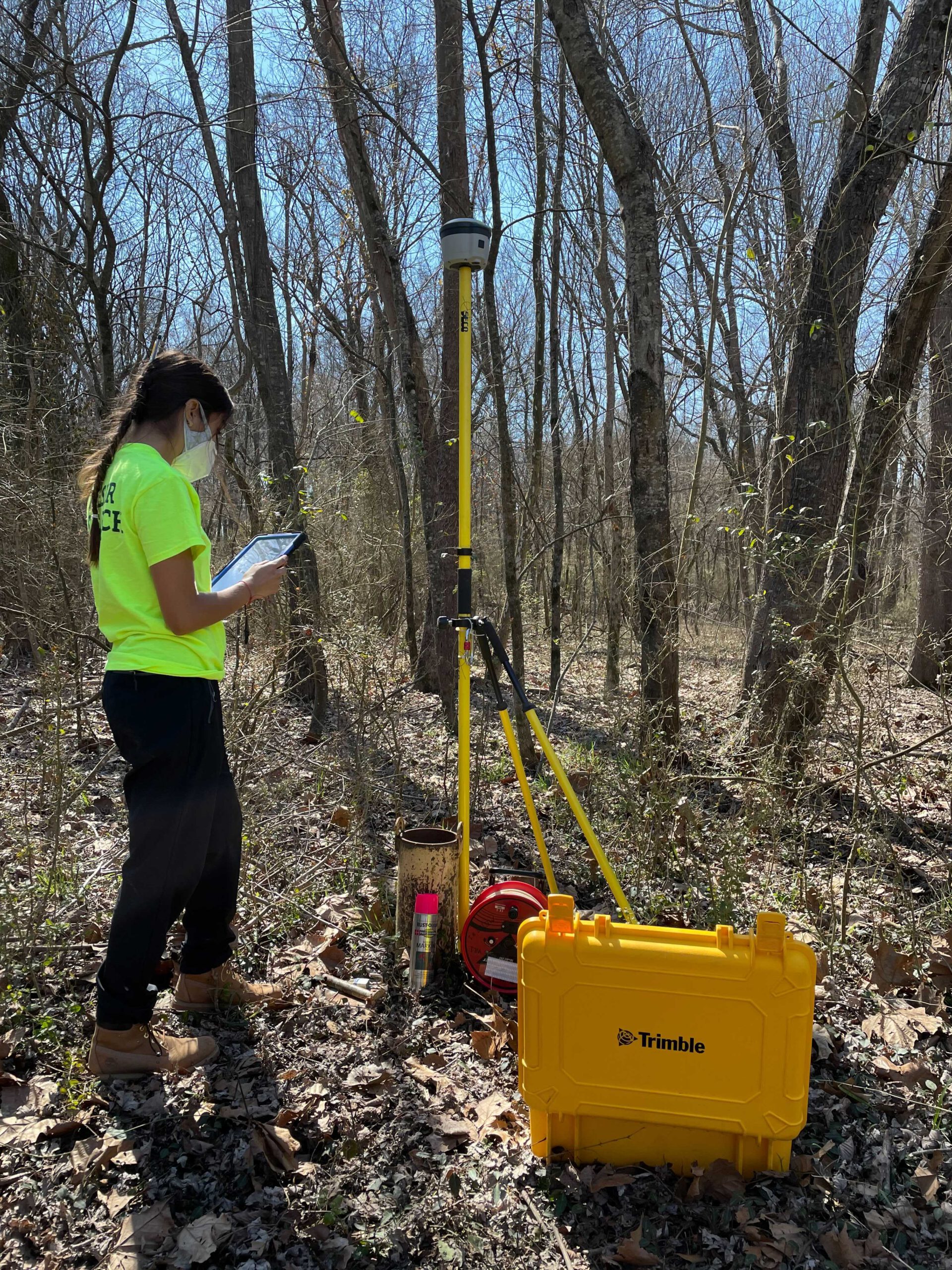
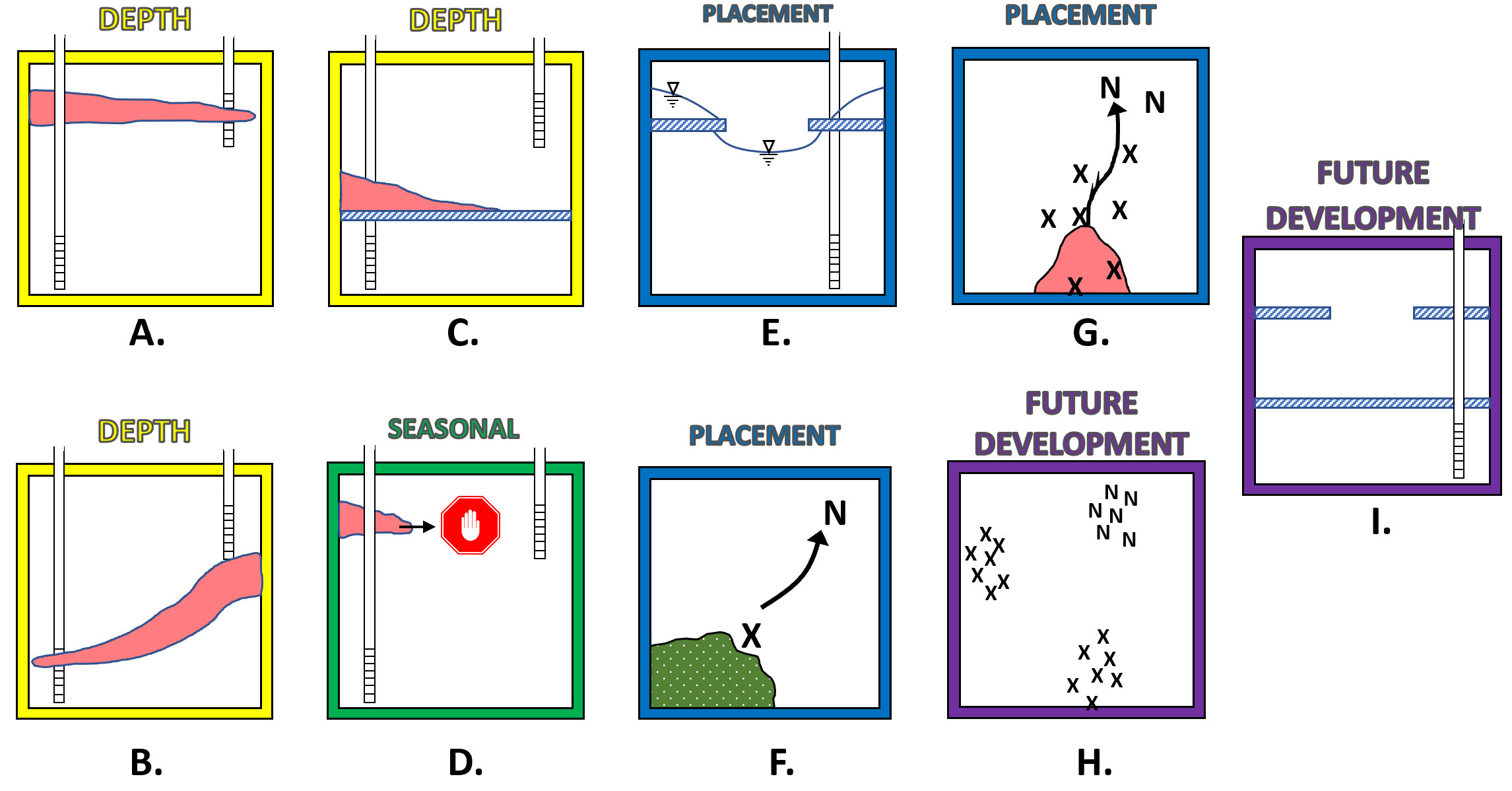
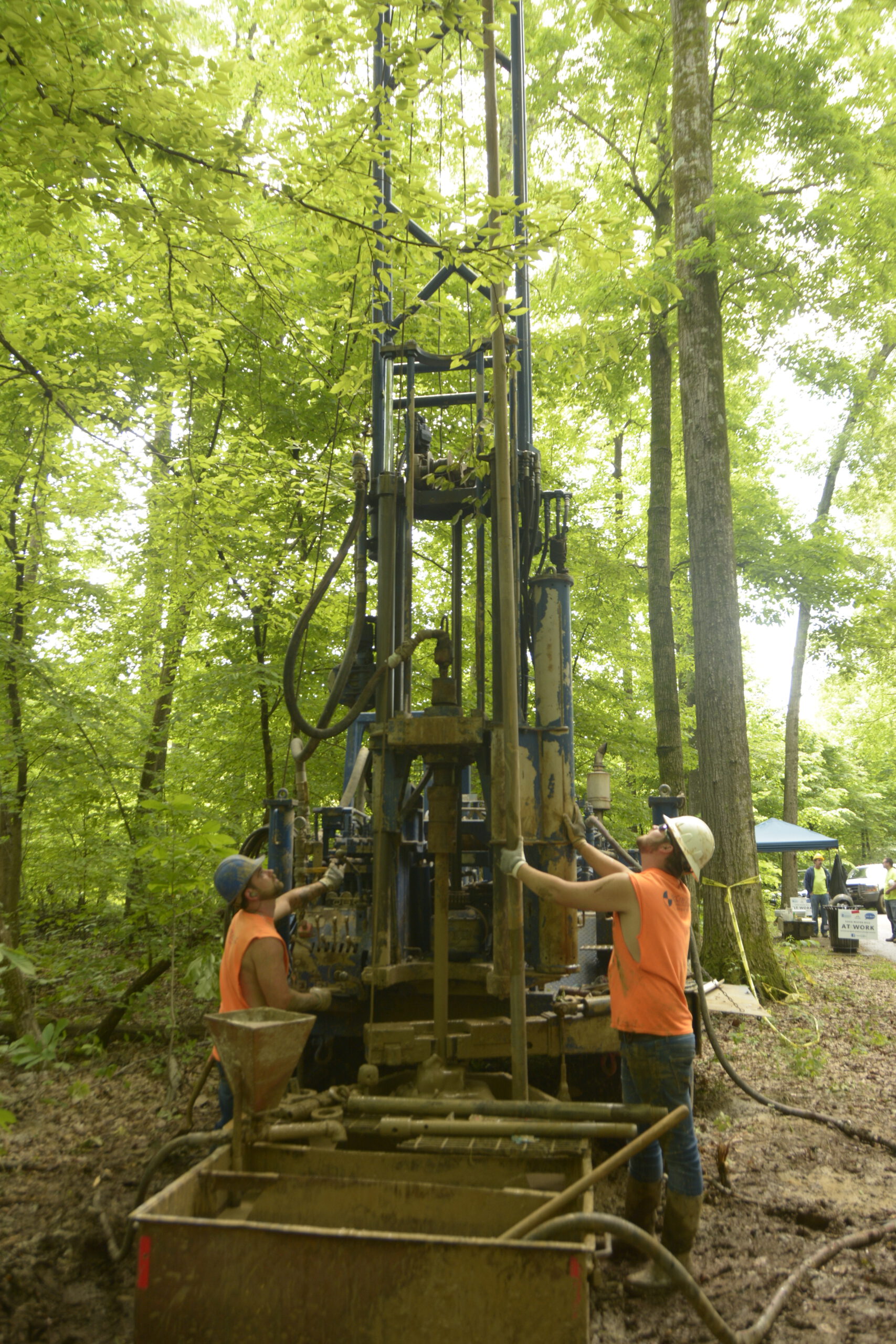
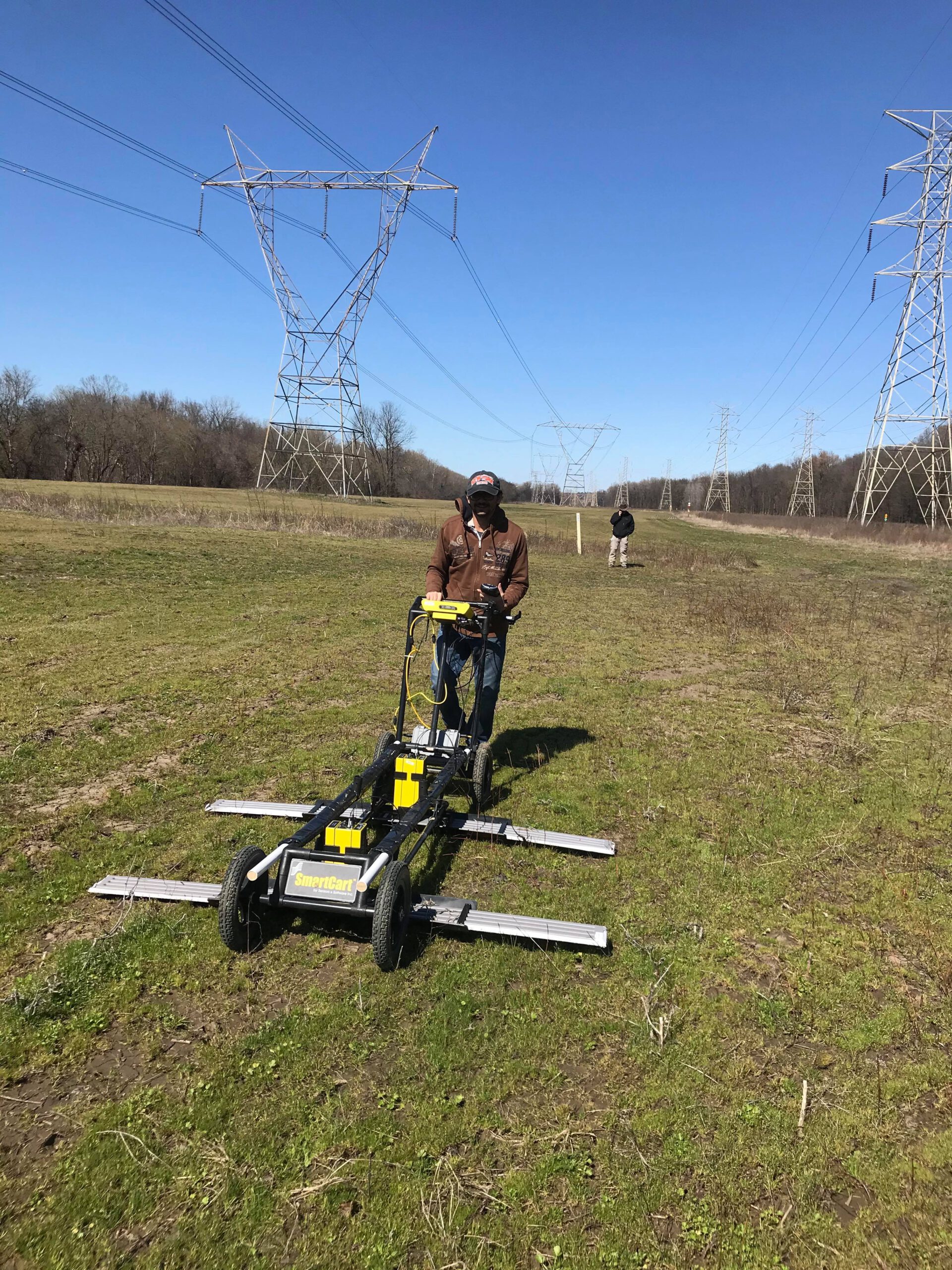
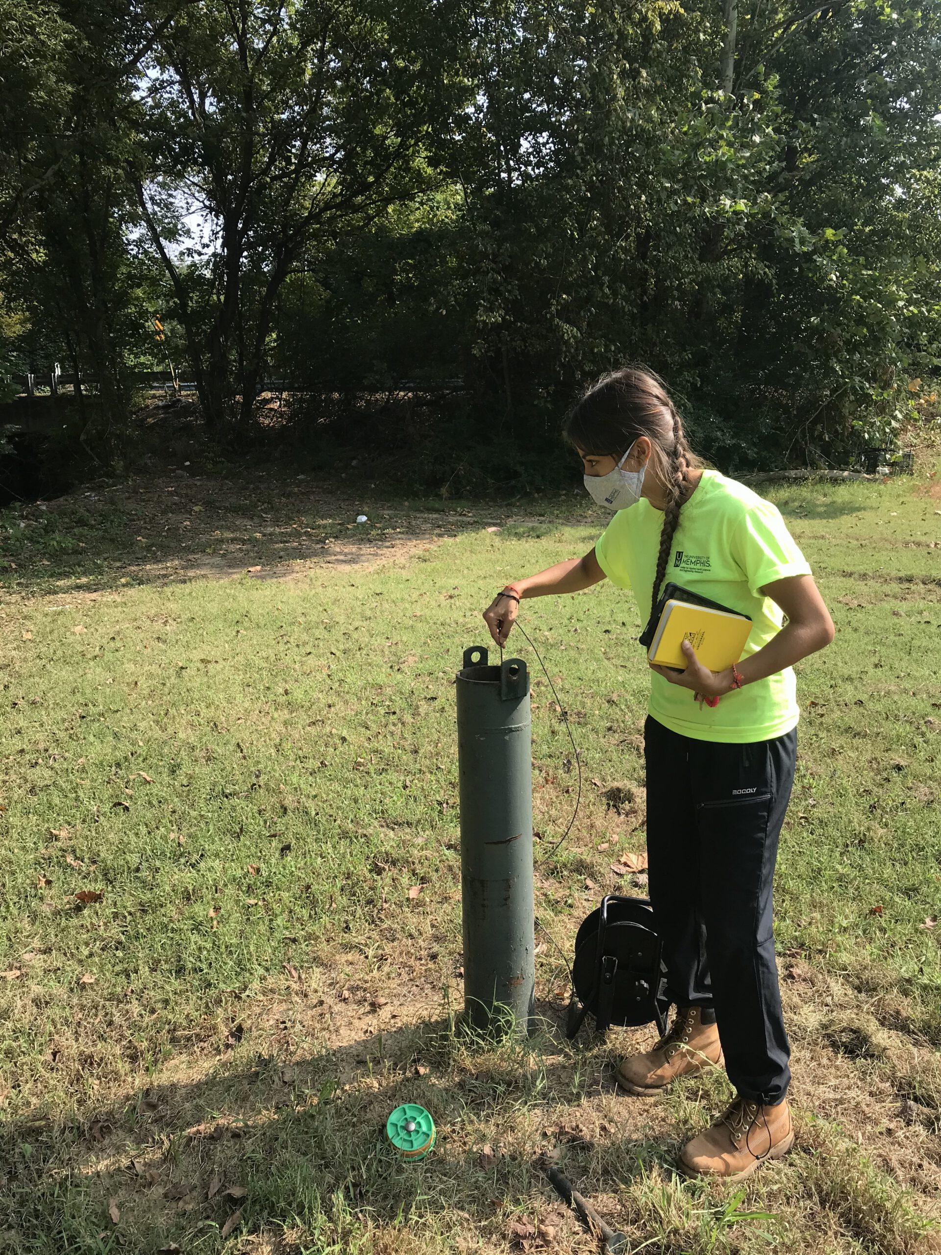
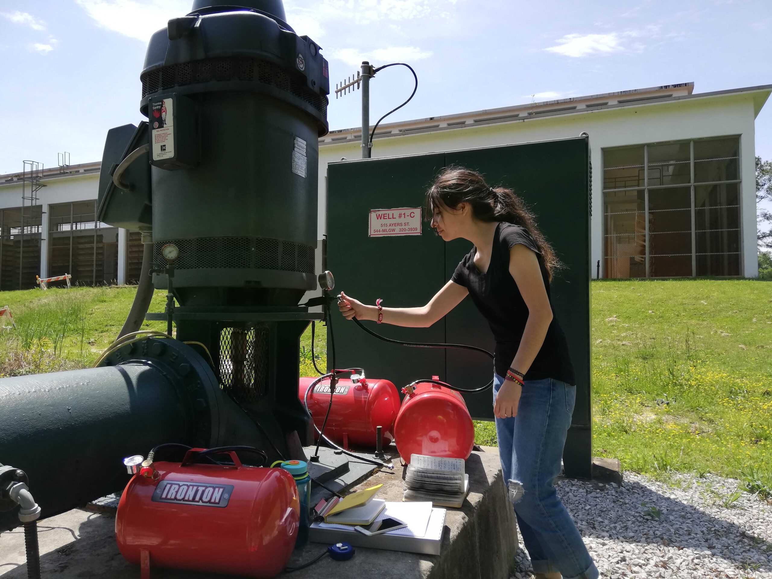
Use a variety of technologies and methodologies are being used to find breaches, determine their shape, and map groundwater levels. They include geophysical techniques, interpreting well log signals, and measuring downhole distances to water levels in wells.

Findings:

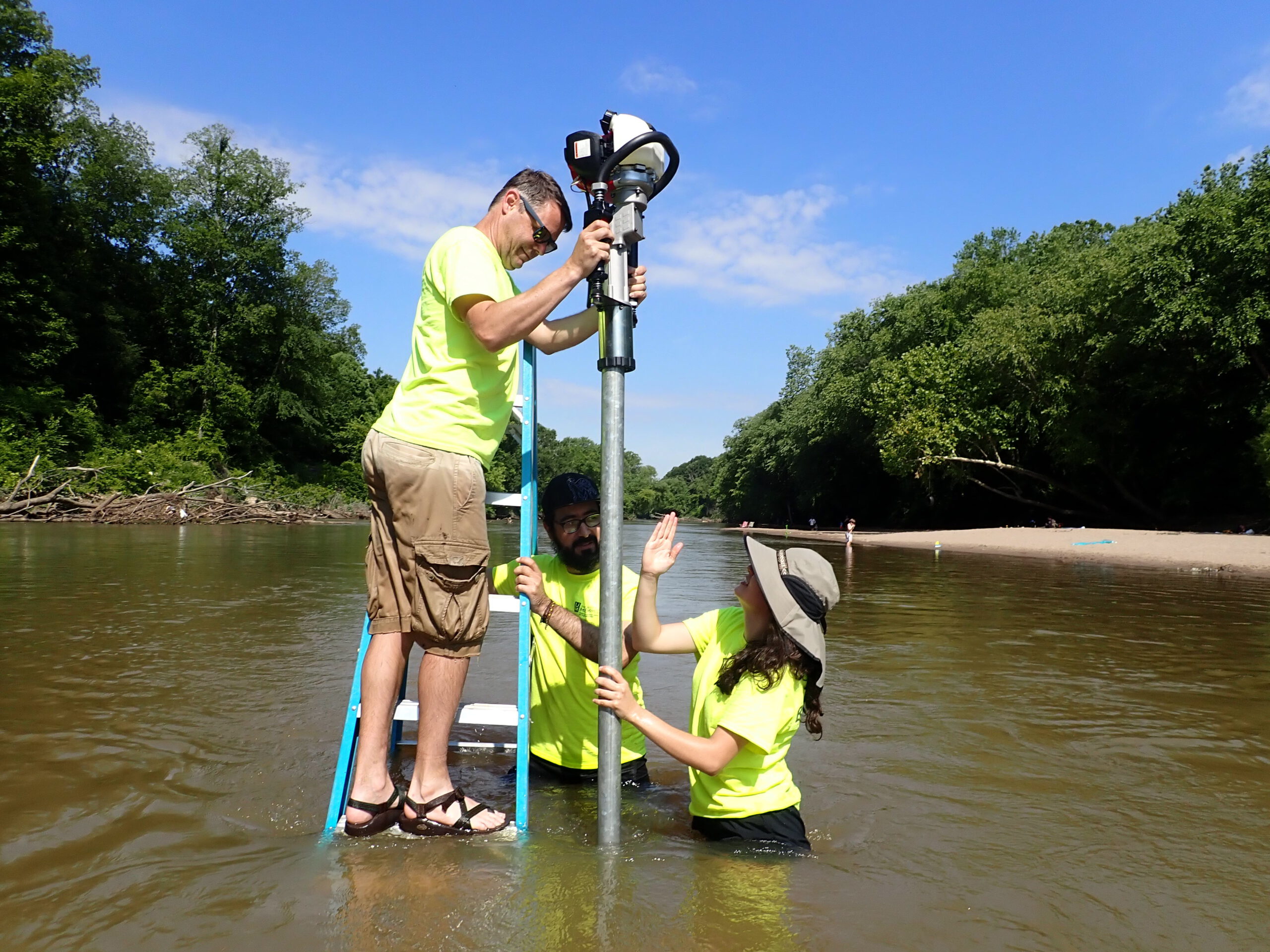
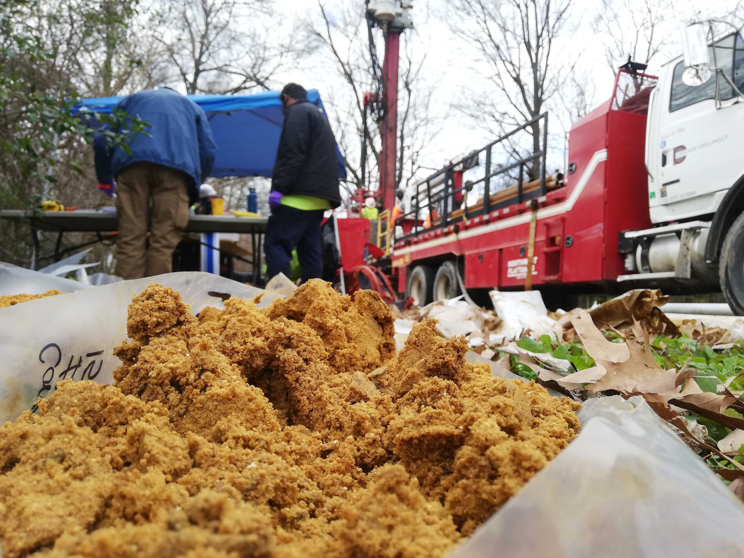
Water levels in the shallow aquifer are higher where the ground elevation is higher and move down toward the rivers where it typically discharges. There are a few anomalous depressions in the water level surface that indicate a possible breach location. Two breaches were found near the University of Memphis, one south of Southern Avenue (which CAESER drilled through), and one south of the intersection of Southern Ave. and Highland St.

Map potential aquitard breaches in Ensley Bottoms near the Davis well field, TVA, and proximal to the Allen well field using geophysical techniques.

Use geophysical well records to investigate hypothetical paleo-drainage network atop the upper Claiborne confining unit. This will potentially help identify new breach locations and better inform numerical groundwater flow simulations.

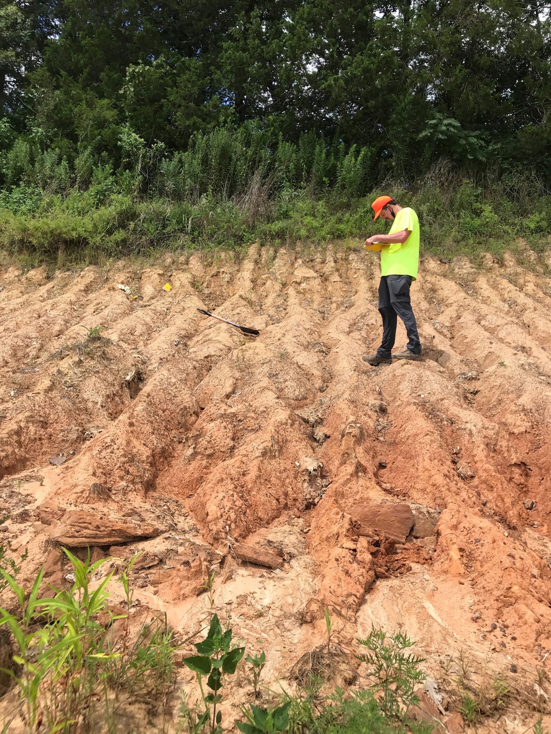
Subsurface mapping of geologic units to identify the presence of aquitard breaches and characterize the hydraulic properties of identified breaches using geophysical techniques in conjunction with other traditional methods.

Conduct a county-wide water level survey of the shallow aquifer

Check Out Our Projects